Cof Cymru: National Historic Assets of Wales · Wales
Hearse house at the Church of St Mary
Pentraeth, Isle of Anglesey, Wales
A Grade II listed building in Pentraeth, Isle of Anglesey, designated on 14 January 2003.
The record
- Designation
- Listed building, Grade II
- Broad class
- Religious, Ritual and Funerary
- Date of designation
- 14 January 2003
- Locality
- Pentraeth
- Community
- Pentraeth
- Unitary authority
- Isle of Anglesey
- Country
- Wales
- Coordinates
- 53.28282, -4.21530
- Cadw reference
- 80831
Slide toward Today to fade the historical sheet and see the modern map underneath.
David Rumsey Map Collection, Stanford LibrariesDavid Rumsey Map Collection, Stanford LibrariesDavid Rumsey Map Collection, Stanford LibrariesDavid Rumsey Map Collection, Stanford LibrariesDavid Rumsey Map Collection, Stanford Libraries
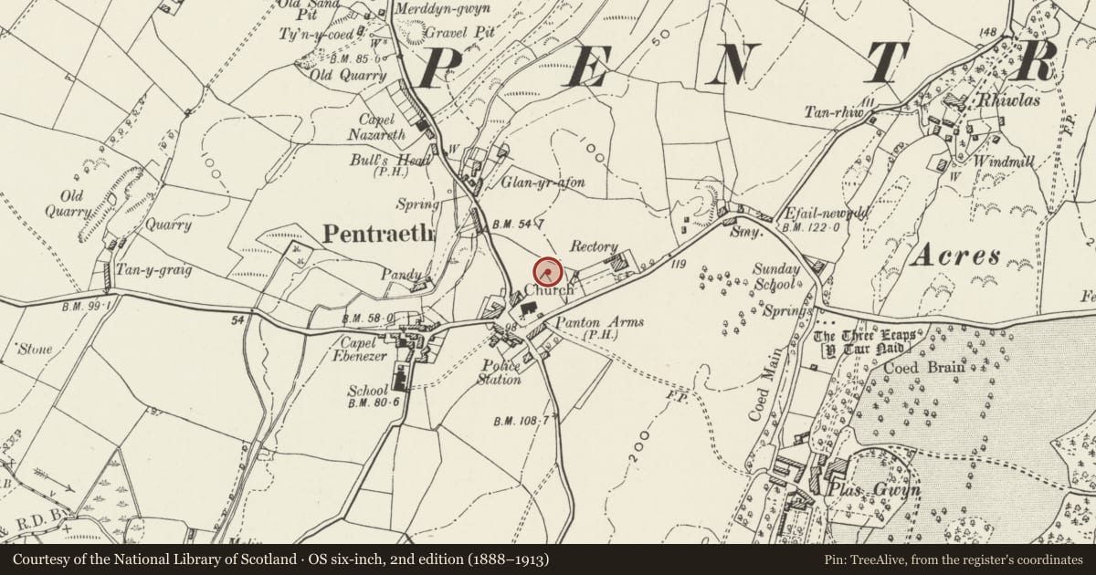
5 historical maps cover this location, the earliest the 1883 map "Watershed map England, Wales 3." (David Rumsey Map Collection, Stanford Libraries).
Historical maps covering this location
- 1883 · Watershed map England, Wales 3. (David Rumsey Map Collection, Stanford Libraries)
- 1896 · Sheet 7. Ordnance Survey of England and Wales. (David Rumsey Map Collection, Stanford Libraries)
- 1899 · 94 Beaumaris (Hills) (David Rumsey Map Collection, Stanford Libraries)
- 1901 · Sheet 9 and 10. (David Rumsey Map Collection, Stanford Libraries)
- 1919 · Sheet 41. Anglesey. (David Rumsey Map Collection, Stanford Libraries)
Cadw's description
Location
Set within the churchyard to NE of the Church of St Mary.
History
C18 or early C19 hearse house.
Exterior
Built of rubble masonry with large stones as quoins; slate roof. Doorway is in the SE gable with a ventilation slit in the gable apex over; 2 similar slits along the lateral walls.
Interior
Interior not inspected at the time of the survey.
Reason for designation
Included as a small hearse house of strong vernacular character. Forms a coherent group with the adjacent church of St Mary, for which it was built.
Nearby in the register
- Vivian Memorial CrossesCommemorativeunder 1 mi
- Church of St MaryReligious, Ritual and Funeraryunder 1 mi
- Panton Arms HotelCommercialunder 1 mi
- Cartshed at Plas GwynAgriculture and Subsistenceunder 1 mi
Other entries of the same register within about three miles of this one, by straight line.