Cof Cymru: National Historic Assets of Wales · Wales
Barn, cart shed and stable at Gelli Uchaf
Llanybydder, Carmarthenshire, Wales
A Grade II listed building in Rhydcymerau, Llanybydder, Carmarthenshire, designated on 3 December 2002.
The record
- Designation
- Listed building, Grade II
- Broad class
- Agriculture and Subsistence
- Date of designation
- 3 December 2002
- Locality
- Rhydcymerau
- Community
- Llanybydder
- Unitary authority
- Carmarthenshire
- Country
- Wales
- Coordinates
- 52.03620, -4.08384
- Cadw reference
- 80701
Slide toward Today to fade the historical sheet and see the modern map underneath.
David Rumsey Map Collection, Stanford LibrariesDavid Rumsey Map Collection, Stanford LibrariesDavid Rumsey Map Collection, Stanford LibrariesDavid Rumsey Map Collection, Stanford LibrariesDavid Rumsey Map Collection, Stanford Libraries
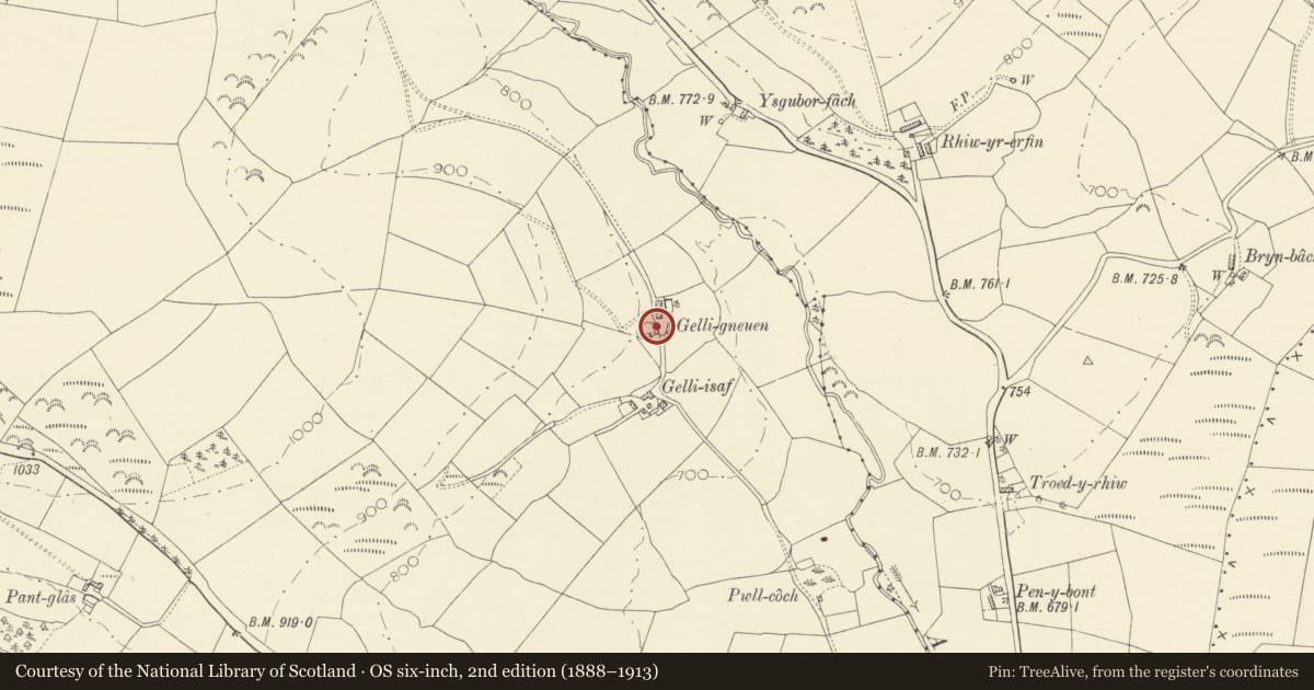
5 historical maps cover this location, the earliest the 1860 map "41. Caermathen." (David Rumsey Map Collection, Stanford Libraries).
Historical maps covering this location
- 1860 · 41. Caermathen. (David Rumsey Map Collection, Stanford Libraries)
- 1891 · Sheet 10. Ordnance Survey of England and Wales. . (David Rumsey Map Collection, Stanford Libraries)
- 1898 · 212 Llandovery (Hills) (David Rumsey Map Collection, Stanford Libraries)
- 1898 · 212 Llandovery (Outline) (David Rumsey Map Collection, Stanford Libraries)
- 1901 · Sheet 14. (David Rumsey Map Collection, Stanford Libraries)
Cadw's description
Location
On the SE side of the house.
History
Built in the mid C19 and first shown on the 1887 Ordnance Survey.
Exterior
A multi-purpose farm building of rubble stone and replaced slate roof. Openings have segmental heads with stone voussoirs and comprise a wagon bay L of centre with replaced boarded door, open cart shed to the R under a small shuttered loft opening below the eaves, and a boarded door to the L to the stable. External stone steps in the R gable end lead to a stone-lintelled loft doorway.
Reason for designation
Listed as a well-preserved C19 multi-purpose farm building retaining original character, and for group value with the house.
Nearby in the register
- Gelli Uchaf (also known as Gelli Gneuen)Domesticunder 1 mi
- Former barn and stable at Dolau UchafNo class recordedunder 1 mi
- Cow house at Dolau UchafNo class recordedunder 1 mi
- Old House at Dolau UchafNo class recordedunder 1 mi
Other entries of the same register within about three miles of this one, by straight line.