Cof Cymru: National Historic Assets of Wales · Wales
Peterwell
Builth, Powys, Wales
A Grade II listed building in Builth, Powys, designated on 14 June 1952.
The record
- Designation
- Listed building, Grade II
- Broad class
- Domestic
- Date of designation
- 14 June 1952
- Community
- Builth
- Unitary authority
- Powys
- Country
- Wales
- Coordinates
- 52.14821, -3.40449
- Cadw reference
- 7450
Slide toward Today to fade the historical sheet and see the modern map underneath.
David Rumsey Map Collection, Stanford LibrariesDavid Rumsey Map Collection, Stanford LibrariesDavid Rumsey Map Collection, Stanford LibrariesDavid Rumsey Map Collection, Stanford LibrariesDavid Rumsey Map Collection, Stanford Libraries
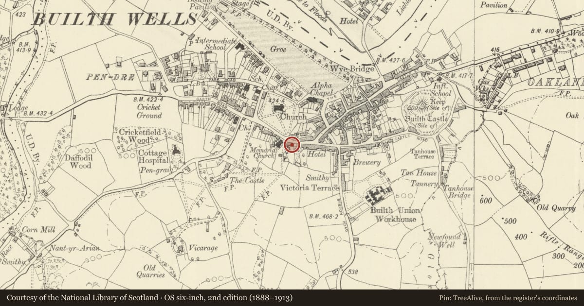
5 historical maps cover this location, the earliest the 1608 map "(13) Cambriae Typus." (David Rumsey Map Collection, Stanford Libraries).
Historical maps covering this location
- 1608 · (13) Cambriae Typus. (David Rumsey Map Collection, Stanford Libraries)
- 1637 · Particular description of Wales. Cambria seu Wallia (David Rumsey Map Collection, Stanford Libraries)
- 1883 · Watershed map England, Wales 3. (David Rumsey Map Collection, Stanford Libraries)
- 1899 · 196 Builth (Hills) (David Rumsey Map Collection, Stanford Libraries)
- 1901 · Sheet 14. (David Rumsey Map Collection, Stanford Libraries)
Cadw's description
Location
Set back from and above street behind small garden.
Exterior
Late Georgian. Two storey, 2 windows wide. Slate roof, hipped to right, bracketed eaves. Yellow brick chimney at left gable end. Painted render front, shallow plinth and, to left, pilaster strip. Grey rubble masonry gable end. Rear extension (2 storey plus attic) in local grey stone and
red brick.
Front has double storey semi-circular bays with windows, each window consisting of tripartite small pane hornless sashes; frames meet wall as fluted Doric pilasters. Wooden trellis porch with lead canopy, over panelled front door.
Interior
Interior has some timber framed partitioning and A-frame roof with pegged joints.
Nearby in the register
- Pillar BoxCommunicationsunder 1 mi
- Premises now occupied by J.K.EvansCommercialunder 1 mi
- Premises now occupied by National Westminster BankCommercialunder 1 mi
- Memorial Baptist ChapelReligious, Ritual and Funeraryunder 1 mi
Other entries of the same register within about three miles of this one, by straight line.