Cof Cymru: National Historic Assets of Wales · Wales
War Memorial
Builth, Powys, Wales
A Grade II listed building in Builth, Powys, designated on 16 September 1991.
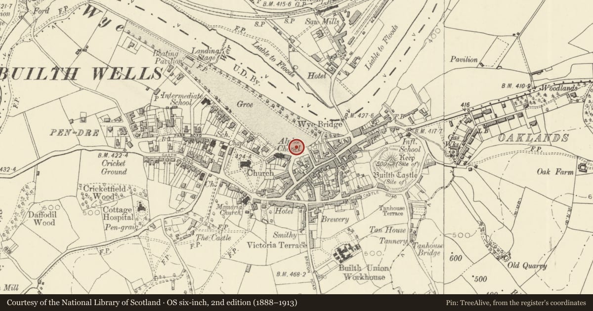
The record
- Designation
- Listed building, Grade II
- Broad class
- Commemorative
- Date of designation
- 16 September 1991
- Community
- Builth
- Unitary authority
- Powys
- Country
- Wales
- Coordinates
- 52.14966, -3.40287
- Cadw reference
- 7443
Slide toward Today to fade the historical sheet and see the modern map underneath.
David Rumsey Map Collection, Stanford LibrariesDavid Rumsey Map Collection, Stanford LibrariesDavid Rumsey Map Collection, Stanford LibrariesDavid Rumsey Map Collection, Stanford LibrariesDavid Rumsey Map Collection, Stanford Libraries
5 historical maps cover this location, the earliest the 1608 map "(13) Cambriae Typus." (David Rumsey Map Collection, Stanford Libraries).
Historical maps covering this location
- 1608 · (13) Cambriae Typus. (David Rumsey Map Collection, Stanford Libraries)
- 1637 · Particular description of Wales. Cambria seu Wallia (David Rumsey Map Collection, Stanford Libraries)
- 1883 · Watershed map England, Wales 3. (David Rumsey Map Collection, Stanford Libraries)
- 1899 · 196 Builth (Hills) (David Rumsey Map Collection, Stanford Libraries)
- 1901 · Sheet 14. (David Rumsey Map Collection, Stanford Libraries)
Cadw's description
Location
On prominent site at entrance to the Groe.
History
Erected in July 1924.
Exterior
In Doulting stone on a Llanelwedd stone base, with 4 Portland stone figures. Bronze tablets with inscriptions.
Classical style podium raised on 3 steps supports late medieval style octagonal tapering shaft surmounted by cross. Statues of four male figures represent Army, Royal Navy, Air Force, Merchant Navy.
Nearby in the register
- Alpha Presbyterian ChurchReligious, Ritual and Funeraryunder 1 mi
- Post OfficeCommunicationsunder 1 mi
- Roy Brown's CoachesCommercialunder 1 mi
- The White Horse PHCommercialunder 1 mi
Other entries of the same register within about three miles of this one, by straight line.