Cof Cymru: National Historic Assets of Wales · Wales
Arvona Gallery
Hay, Powys, Wales
A Grade II listed building in Hay, Powys, designated on 1 February 1988.
The record
- Designation
- Listed building, Grade II
- Broad class
- Commercial
- Date of designation
- 1 February 1988
- Community
- Hay
- Unitary authority
- Powys
- Country
- Wales
- Coordinates
- 52.07454, -3.12476
- Cadw reference
- 7409
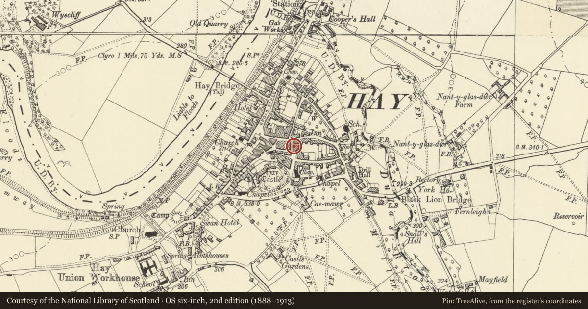
Slide toward Today to fade the historical sheet and see the modern map underneath.
David Rumsey Map Collection, Stanford LibrariesDavid Rumsey Map Collection, Stanford LibrariesDavid Rumsey Map Collection, Stanford LibrariesDavid Rumsey Map Collection, Stanford LibrariesDavid Rumsey Map Collection, Stanford Libraries
5 historical maps cover this location, the earliest the 1636 map "Cornubia : Devonia, Somersetus, Dorcestria, Wiltonia, Glocestria ..." (David Rumsey Map Collection, Stanford Libraries).
Historical maps covering this location
- 1636 · Cornubia : Devonia, Somersetus, Dorcestria, Wiltonia, Glocestria ... (David Rumsey Map Collection, Stanford Libraries)
- 1637 · Particular description of Wales. Cambria seu Wallia (David Rumsey Map Collection, Stanford Libraries)
- 1856 · 42. Brecon. (David Rumsey Map Collection, Stanford Libraries)
- 1898 · 197 Hay (Hills) (David Rumsey Map Collection, Stanford Libraries)
- 1901 · Sheet 14. (David Rumsey Map Collection, Stanford Libraries)
Cadw's description
Location
Stepped down at the end of a short terrace, close to St John's Chapel; formerly the Castle Inn.
Exterior
Early C19 2-storey, 2-window rendered front with plinth; slate roof with skylights and brick chimney stack. 12 and 16 pane sash windows; central entrance with 6-panel door and pedimented doorcase with panelled pilasters.
Mainly small pane sash windows to whitewashed rubble left gable end; modern alterations to rear.
Reason for designation
Included for group value.
Nearby in the register
- St John's ChapelReligious, Ritual and Funeraryunder 1 mi
- Compton Hous including Oxfam and HayfeverCommercialunder 1 mi
- 5 Lion StreetCommercialunder 1 mi
- The HaywainCommercialunder 1 mi
Other entries of the same register within about three miles of this one, by straight line.