Cof Cymru: National Historic Assets of Wales · Wales
40 Lion Street
Hay, Powys, Wales
A Grade II listed building in Hay, Powys, designated on 1 February 1988.
The record
- Designation
- Listed building, Grade II
- Broad class
- Commercial
- Date of designation
- 1 February 1988
- Community
- Hay
- Unitary authority
- Powys
- Country
- Wales
- Coordinates
- 52.07479, -3.12519
- Cadw reference
- 7388
Slide toward Today to fade the historical sheet and see the modern map underneath.
David Rumsey Map Collection, Stanford LibrariesDavid Rumsey Map Collection, Stanford LibrariesDavid Rumsey Map Collection, Stanford LibrariesDavid Rumsey Map Collection, Stanford LibrariesDavid Rumsey Map Collection, Stanford Libraries
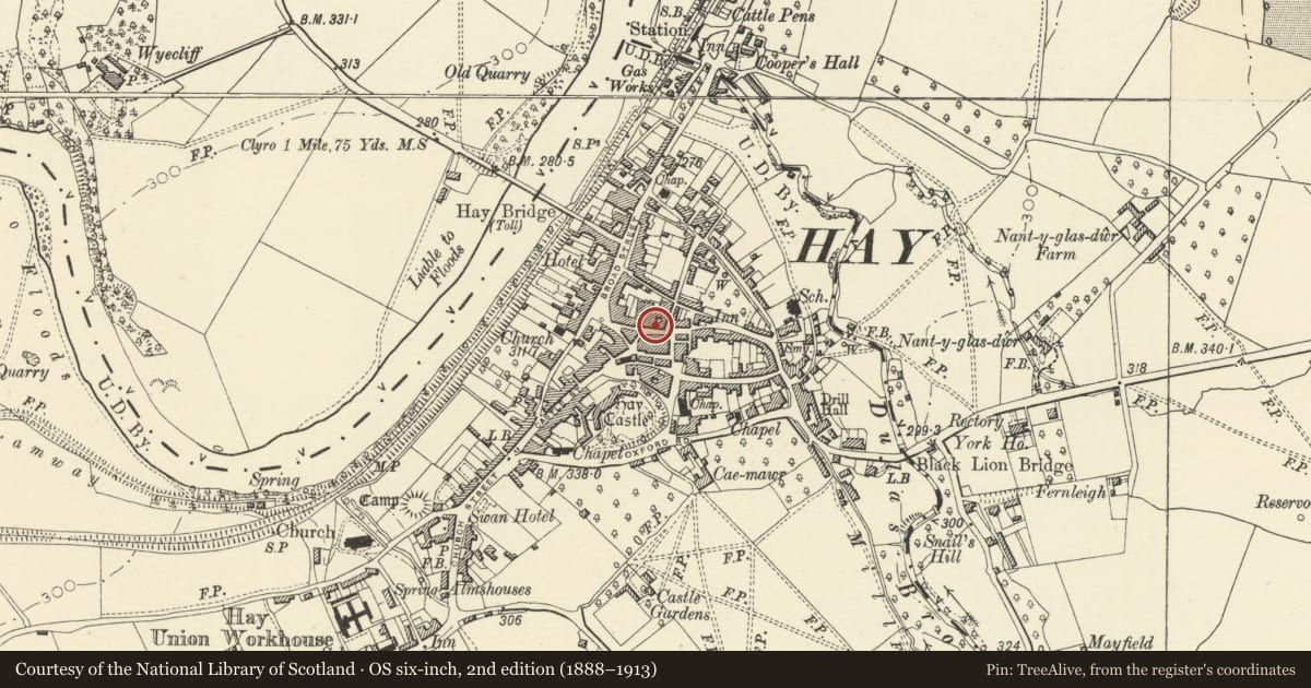
5 historical maps cover this location, the earliest the 1636 map "Cornubia : Devonia, Somersetus, Dorcestria, Wiltonia, Glocestria ..." (David Rumsey Map Collection, Stanford Libraries).
Historical maps covering this location
- 1636 · Cornubia : Devonia, Somersetus, Dorcestria, Wiltonia, Glocestria ... (David Rumsey Map Collection, Stanford Libraries)
- 1637 · Particular description of Wales. Cambria seu Wallia (David Rumsey Map Collection, Stanford Libraries)
- 1856 · 42. Brecon. (David Rumsey Map Collection, Stanford Libraries)
- 1898 · 197 Hay (Hills) (David Rumsey Map Collection, Stanford Libraries)
- 1901 · Sheet 14. (David Rumsey Map Collection, Stanford Libraries)
Cadw's description
Location
Set into a row of street frontages near the cross roads.
History
Victorian with possible C17 origins.
Exterior
2-storey, 2-window rendered front. Slate roof, continuous with No 41, and brick chimney stacks; sash windows. Shop front with fascia end brackets and splayed entrance to left; half-glazed doors to shop and 4-panelled door leading to flats above. White washed rubble right end (visible in cross passage) and rear.
Reason for designation
Included for group value.
Nearby in the register
- 41 Lion StreetCommercialunder 1 mi
- 39 Lion StreetCommercialunder 1 mi
- Mike & Lin HarrisCommercialunder 1 mi
- 4 Lion StreetDomesticunder 1 mi
Other entries of the same register within about three miles of this one, by straight line.