Cof Cymru: National Historic Assets of Wales · Wales
Hayshed at Branas Uchaf
Llandrillo, Denbighshire, Wales
A Grade II listed building in Branas, Llandrillo, Denbighshire, designated on 20 October 1966.
The record
- Designation
- Listed building, Grade II
- Broad class
- Agriculture and Subsistence
- Date of designation
- 20 October 1966
- Locality
- Branas
- Community
- Llandrillo
- Unitary authority
- Denbighshire
- Country
- Wales
- Coordinates
- 52.92475, -3.46613
- Cadw reference
- 702
Slide toward Today to fade the historical sheet and see the modern map underneath.
David Rumsey Map Collection, Stanford LibrariesDavid Rumsey Map Collection, Stanford LibrariesLlyfrgell Genedlaethol Cymru – The National Library of WalesDavid Rumsey Map Collection, Stanford LibrariesDavid Rumsey Map Collection, Stanford Libraries
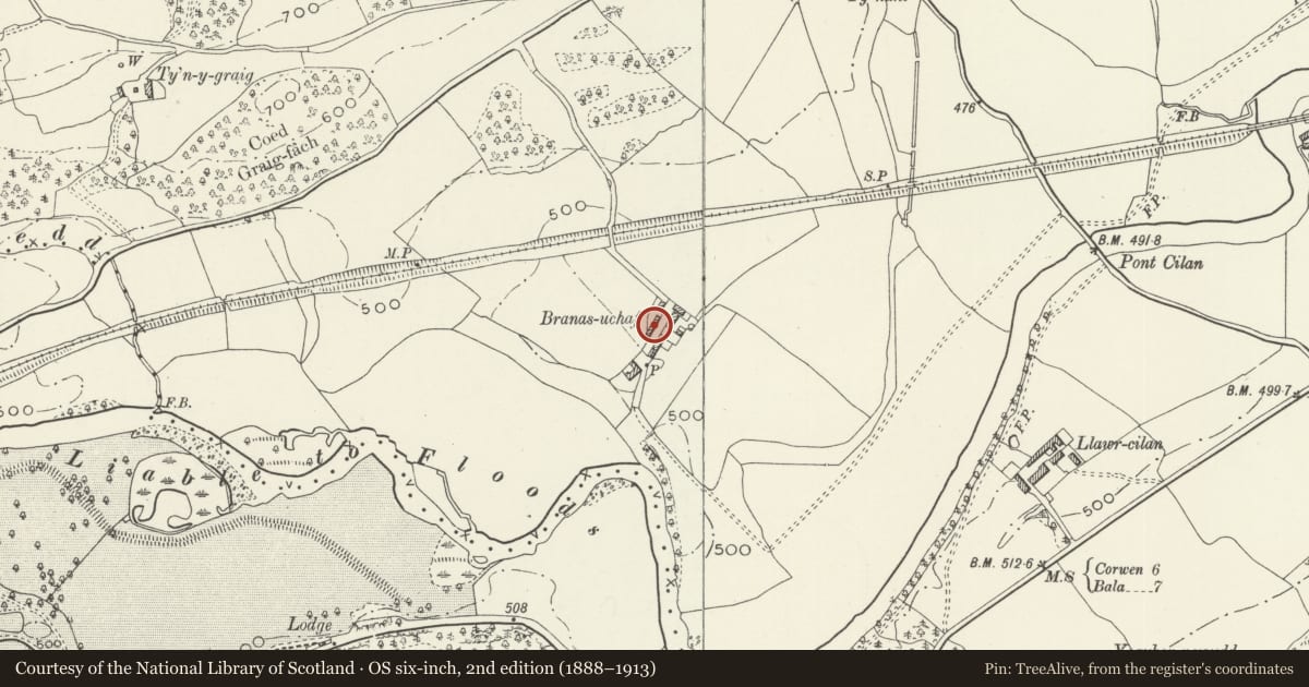
5 historical maps cover this location, the earliest the 1795 map "To Sir Watkin Williams-Wynn Bart ... the map of the six counties of North Wales is most humbly inscribed by his obedient humble servant" (Llyfrgell Genedlaethol Cymru – The National Library of Wales).
Historical maps covering this location
- 1795 · To Sir Watkin Williams-Wynn Bart ... the map of the six counties of North Wales is most… (Llyfrgell Genedlaethol Cymru – The National Library of Wales)
- 1830 · V.3:11-15:XV. Britisches Reich. A. Kon: England. b. Frstenthum Wales: Shire: 37-40 (David Rumsey Map Collection, Stanford Libraries)
- 1883 · Watershed map England, Wales 3. (David Rumsey Map Collection, Stanford Libraries)
- 1898 · 120 Corwen (Hills) (David Rumsey Map Collection, Stanford Libraries)
- 1901 · Sheet 9 and 10. (David Rumsey Map Collection, Stanford Libraries)
Cadw's description
Location
One of a group of farm buildings to the NE of the farmhouse. It faces S towards the yard, opposite the cow-house, at the E end of the complex.
History
Probably C18; originally open to front and rear. The roof structure was replaced later.
Exterior
Three-bay hayshed with open front, constructed of rubble stone under an old graded slate roof. Plain square piers to front, separating bays. The rear was formerly open too, the bays now infilled with rubble stone. E gable has loft hatch with large stone lintel and brick infill. Small range, possibly a harness room, added to W end later, of rubble stone with slate roof, containing a central boarded door with unglazed overlight. Its rear has a central window infilled with corrugated sheeting.
Interior
Interior is open to the roof; light tie-beam trusses with struts, nailed not pegged.
Reason for designation
Listed as a relatively rare survival of this agricultural building-type, and for group value with Branas Uchaf and surrounding farm buildings.
Nearby in the register
- Multi-purpose Farm Building at Branas UchafAgriculture and Subsistenceunder 1 mi
- Barn at Branas UchafAgriculture and Subsistenceunder 1 mi
- Cow-house at Branas UchafAgriculture and Subsistenceunder 1 mi
- Branas UchafDomesticunder 1 mi
Other entries of the same register within about three miles of this one, by straight line.