Cof Cymru: National Historic Assets of Wales · Wales
Ely Tower of Brecon Castle
Brecon, Powys, Wales
A Grade I listed building in Brecon, Powys, designated on 16 December 1976.
The record
- Designation
- Listed building, Grade I
- Broad class
- Domestic
- Date of designation
- 16 December 1976
- Locality
- Brecon
- Town
- Brecon
- Community
- Brecon
- Unitary authority
- Powys
- Country
- Wales
- Coordinates
- 51.94938, -3.39325
- Cadw reference
- 6849
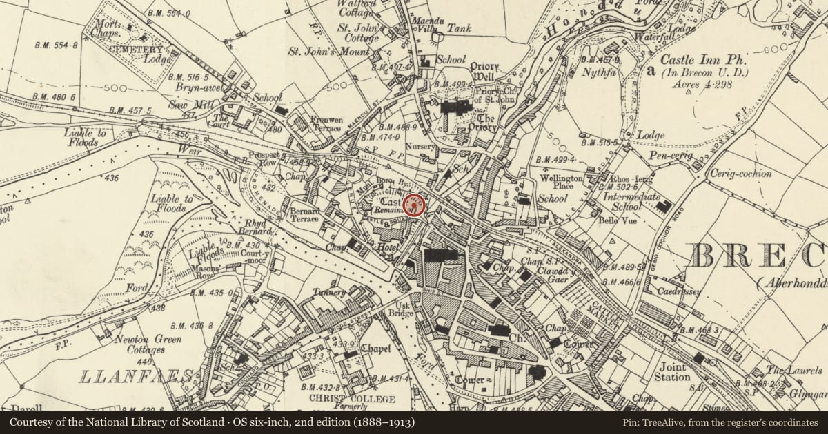
Slide toward Today to fade the historical sheet and see the modern map underneath.
David Rumsey Map Collection, Stanford LibrariesDavid Rumsey Map Collection, Stanford LibrariesDavid Rumsey Map Collection, Stanford LibrariesDavid Rumsey Map Collection, Stanford LibrariesDavid Rumsey Map Collection, Stanford Libraries
5 historical maps cover this location, the earliest the 1608 map "(13) Cambriae Typus." (David Rumsey Map Collection, Stanford Libraries).
Historical maps covering this location
- 1608 · (13) Cambriae Typus. (David Rumsey Map Collection, Stanford Libraries)
- 1636 · Cornubia : Devonia, Somersetus, Dorcestria, Wiltonia, Glocestria ... (David Rumsey Map Collection, Stanford Libraries)
- 1856 · 42. Brecon. (David Rumsey Map Collection, Stanford Libraries)
- 1898 · 213 Brecon (Hills) (David Rumsey Map Collection, Stanford Libraries)
- 1901 · Sheet 14. (David Rumsey Map Collection, Stanford Libraries)
Cadw's description
Location
On motte to NE of Castle Hotel, within walled grounds of Bishop's Residence.
History
The remains of the castle are now separated by Castle Square. A motte and bailey castle probably with wooden buildings was established by Bernard de Neufmarche by 1093. Later rebuilding of this keep in stone, probably by William de Breos, holder of castle in late C12.
Exterior
Remains of stone castle keep. The Ely Tower was a polygonal tower or shell keep of stone similar to the structure at Tretower Castle
Reason for designation
Graded I as remains of major medieval castle.
Scheduled Ancient Monument Cadw Ref BR022 (POW).
Nearby in the register
- Castle HouseNo class recordedunder 1 mi
- Stone Wall to NE of Castle Hotel which faces River Honddu, including Stone Outbuilding at N endTransportunder 1 mi
- Ely HouseDomesticunder 1 mi
- Brecon CastleMotte and Baileyunder 1 mi
Other entries of the same register within about three miles of this one, by straight line.