Cof Cymru: National Historic Assets of Wales · Wales
Lychgate at South Side of Churchyard of St Eigon's Church
Llanigon, Powys, Wales
A Grade II listed building in Llanigon, Powys, designated on 28 September 1961.
The record
- Designation
- Listed building, Grade II
- Broad class
- Religious, Ritual and Funerary
- Date of designation
- 28 September 1961
- Locality
- Llanigon
- Community
- Llanigon
- Unitary authority
- Powys
- Country
- Wales
- Coordinates
- 52.05176, -3.14772
- Cadw reference
- 6624
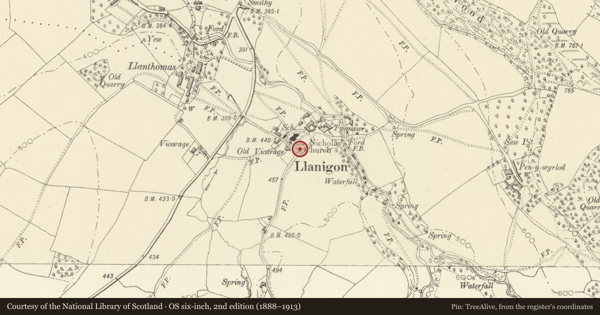
Slide toward Today to fade the historical sheet and see the modern map underneath.
David Rumsey Map Collection, Stanford LibrariesDavid Rumsey Map Collection, Stanford LibrariesDavid Rumsey Map Collection, Stanford LibrariesDavid Rumsey Map Collection, Stanford LibrariesDavid Rumsey Map Collection, Stanford Libraries
5 historical maps cover this location, the earliest the 1636 map "Cornubia : Devonia, Somersetus, Dorcestria, Wiltonia, Glocestria ..." (David Rumsey Map Collection, Stanford Libraries).
Historical maps covering this location
- 1636 · Cornubia : Devonia, Somersetus, Dorcestria, Wiltonia, Glocestria ... (David Rumsey Map Collection, Stanford Libraries)
- 1637 · Particular description of Wales. Cambria seu Wallia (David Rumsey Map Collection, Stanford Libraries)
- 1856 · 42. Brecon. (David Rumsey Map Collection, Stanford Libraries)
- 1896 · 214 Talgarth (Hills) (David Rumsey Map Collection, Stanford Libraries)
- 1901 · Sheet 14. (David Rumsey Map Collection, Stanford Libraries)
Cadw's description
Location
Stands in the SW corner of St Eigon's churchyard.
Exterior
Small, of stone, C19 with boarded gables and a stone-slate roof, the gables and roof renewed/repaired. Roof of oak, with collared rafter-couples, the halved joints nailed.
A small and comparatively unaltered lychgate.
Nearby in the register
- Parish Church of St EigonReligious, Ritual and Funeraryunder 1 mi
- The Old Post OfficeDomesticunder 1 mi
- Granary and Stable at Ty MawrDomesticunder 1 mi
- Ty MawrDomesticunder 1 mi
Other entries of the same register within about three miles of this one, by straight line.