Cof Cymru: National Historic Assets of Wales · Wales
Laundry Cottage to N of Orielton Field Centre
Hundleton, Pembrokeshire, Wales
A Grade II listed building in Hundleton, Pembrokeshire, designated on 29 September 1993.
The record
- Designation
- Listed building, Grade II
- Broad class
- Domestic
- Date of designation
- 29 September 1993
- Community
- Hundleton
- Unitary authority
- Pembrokeshire
- Country
- Wales
- Coordinates
- 51.65333, -4.95814
- Cadw reference
- 6575
Slide toward Today to fade the historical sheet and see the modern map underneath.
David Rumsey Map Collection, Stanford LibrariesDavid Rumsey Map Collection, Stanford LibrariesDavid Rumsey Map Collection, Stanford LibrariesDavid Rumsey Map Collection, Stanford LibrariesDavid Rumsey Map Collection, Stanford Libraries
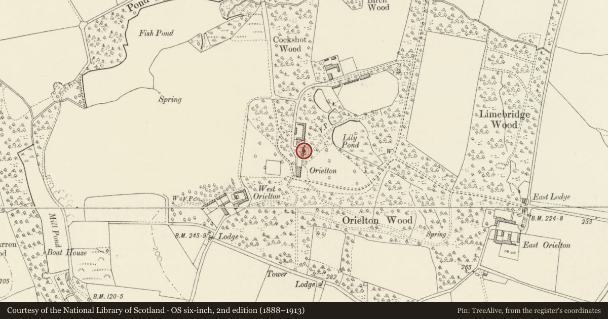
5 historical maps cover this location, the earliest the 1636 map "Cornubia : Devonia, Somersetus, Dorcestria, Wiltonia, Glocestria ..." (David Rumsey Map Collection, Stanford Libraries).
Historical maps covering this location
- 1636 · Cornubia : Devonia, Somersetus, Dorcestria, Wiltonia, Glocestria ... (David Rumsey Map Collection, Stanford Libraries)
- 1865 · England and Wales. England No. 6. (David Rumsey Map Collection, Stanford Libraries)
- 1891 · Sheet 10. Ordnance Survey of England and Wales. . (David Rumsey Map Collection, Stanford Libraries)
- 1898 · 245 Pembroke (Hills) (David Rumsey Map Collection, Stanford Libraries)
- 1901 · Sheet 13. (David Rumsey Map Collection, Stanford Libraries)
Cadw's description
Location
Situated just N of the former mansion and S of stable court; on alignment with E front of the house.
Exterior
Earlier C19 service range, former laundry. Roughcast, single storey with hipped slate roof and one rebuilt brick ridge stack. Flat boarded eaves. Two big 12-pane sashes to left, then door, another sash and another door. To right three smaller windows, one 12-pane, the other two C20 replacements. Low single-storey hipped addition at N end.
Reason for designation
Included for group value with former Orielton mansion and other listed items in the grounds.
Nearby in the register
- Orielton Field CentreDomesticunder 1 mi
- Orielton Field CentreDomesticunder 1 mi
- Sundial in front garden to E of Orielton Field CentreGardens, Parks and Urban Spacesunder 1 mi
- Former Stable Court of 2 Ranges to NDomesticunder 1 mi
Other entries of the same register within about three miles of this one, by straight line.