Cof Cymru: National Historic Assets of Wales · Wales
The Lifeboat Station
Tenby, Pembrokeshire, Wales
A Grade II listed building in Tenby, Pembrokeshire, designated on 1 December 1992.
The record
- Designation
- Listed building, Grade II
- Broad class
- Maritime
- Date of designation
- 1 December 1992
- Town
- Tenby
- Community
- Tenby
- Unitary authority
- Pembrokeshire
- Country
- Wales
- Coordinates
- 51.67318, -4.69502
- Cadw reference
- 6560
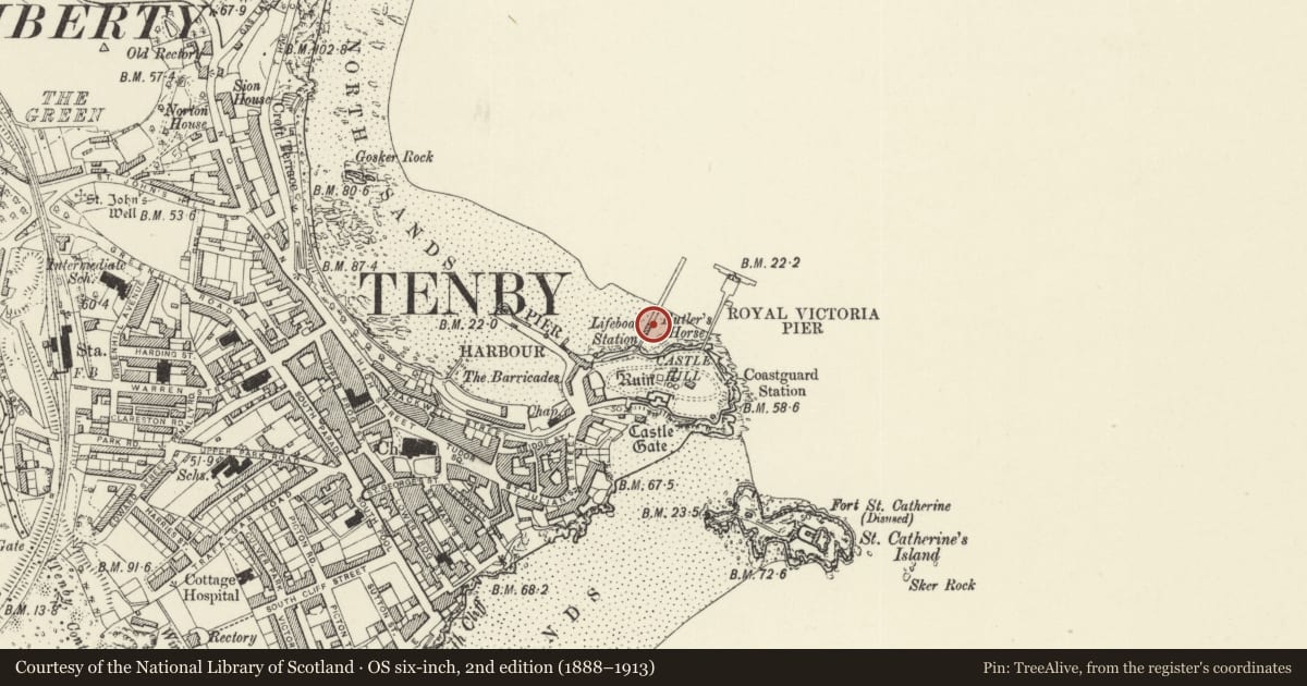
Slide toward Today to fade the historical sheet and see the modern map underneath.
David Rumsey Map Collection, Stanford LibrariesDavid Rumsey Map Collection, Stanford LibrariesDavid Rumsey Map Collection, Stanford LibrariesDavid Rumsey Map Collection, Stanford LibrariesDavid Rumsey Map Collection, Stanford Libraries
5 historical maps cover this location, the earliest the 1636 map "Cornubia : Devonia, Somersetus, Dorcestria, Wiltonia, Glocestria ..." (David Rumsey Map Collection, Stanford Libraries).
Historical maps covering this location
- 1636 · Cornubia : Devonia, Somersetus, Dorcestria, Wiltonia, Glocestria ... (David Rumsey Map Collection, Stanford Libraries)
- 1865 · England and Wales. England No. 6. (David Rumsey Map Collection, Stanford Libraries)
- 1891 · Sheet 10. Ordnance Survey of England and Wales. . (David Rumsey Map Collection, Stanford Libraries)
- 1898 · 245 Pembroke (Hills) (David Rumsey Map Collection, Stanford Libraries)
- 1901 · Sheet 13. (David Rumsey Map Collection, Stanford Libraries)
Cadw's description
Location
On the N side of the headland below Castle Hill, reached from path along cliff edge.
History
Lifeboat house of 1905 by W T Douglas, engineer and architect to the RNLI, at a cost of £3,871. An almost identical example is at Porthstinan, St Davids, of 1911.
Exterior
Lifeboat-house and slipway. Painted corrugated-iron cladding to timber-frame lifeboat house on high concrete and timber slipway with timber-decked access from Castle Hill. Lifeboat house has curved roof and is taller at seaward end as it encloses the top of the slipway. The windows are stepped down accordingly: casement-pair windows with single-pane top-light and central boarded door beside flagstaff to landward end.
The slipway has reinforced concrete piers and lattice-girders, replaced since 1904. Cantilevered walkways to either side.
Interior
Not inspected.
Reason for designation
Included as an example of changing technology in lifeboats, the early C20 move to high slipways for rapid launching into deep water.
Nearby in the register
- The Prince Consort MemorialCommemorativeunder 1 mi
- Tenby Castle remainsInstitutionalunder 1 mi
- Tenby CastleCastleunder 1 mi
- The Old Coastguard HouseDomesticunder 1 mi
Other entries of the same register within about three miles of this one, by straight line.