Cof Cymru: National Historic Assets of Wales · Wales
Prospect Cottage
Pembroke, Pembrokeshire, Wales
A Grade II listed building in Monkton, Pembroke, Pembrokeshire, designated on 14 July 1981.
The record
- Designation
- Listed building, Grade II
- Broad class
- Domestic
- Date of designation
- 14 July 1981
- Locality
- Monkton
- Town
- Pembroke
- Community
- Pembroke
- Unitary authority
- Pembrokeshire
- Country
- Wales
- Coordinates
- 51.67508, -4.92201
- Cadw reference
- 6334
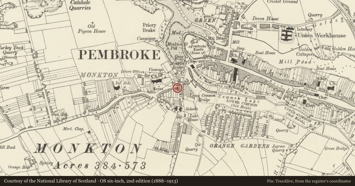
Slide toward Today to fade the historical sheet and see the modern map underneath.
David Rumsey Map Collection, Stanford LibrariesDavid Rumsey Map Collection, Stanford LibrariesDavid Rumsey Map Collection, Stanford LibrariesDavid Rumsey Map Collection, Stanford LibrariesDavid Rumsey Map Collection, Stanford Libraries
5 historical maps cover this location, the earliest the 1636 map "Cornubia : Devonia, Somersetus, Dorcestria, Wiltonia, Glocestria ..." (David Rumsey Map Collection, Stanford Libraries).
Historical maps covering this location
- 1636 · Cornubia : Devonia, Somersetus, Dorcestria, Wiltonia, Glocestria ... (David Rumsey Map Collection, Stanford Libraries)
- 1865 · England and Wales. England No. 6. (David Rumsey Map Collection, Stanford Libraries)
- 1891 · Sheet 10. Ordnance Survey of England and Wales. . (David Rumsey Map Collection, Stanford Libraries)
- 1898 · 245 Pembroke (Hills) (David Rumsey Map Collection, Stanford Libraries)
- 1901 · Sheet 13. (David Rumsey Map Collection, Stanford Libraries)
Cadw's description
Location
On the S side of Church Terrace near its junction with Bridgend Terrace.
History
Small house, probably an early C19 rebuilding of a C17 house of some size, including present No 1. The W end massive stone chimney is of the regional type of the C16-17.
Exterior
Two-storey semi-detached house, continuous with No 1. Rubble stone with slate gabled roof. Very large W end external chimneybreast, clad in C20 painted roughcast, with sloping sides and square stack. Two-bay front much offset to left, the doorway to left with half-glazed C20 door, stone voussoirs, and later C19 slate canopy on curved wood brackets, and a hornless 12-pane sash window to right with stone voussoirs. On first floor, two square sashes under eaves, the left one a horned 4-pane sash, the right one a hornless 6-pane sash. Painted slate sills.
Interior
Two unchamfered ceiling beams inside, with the joists hidden.
Reason for designation
Included as a village house of C17 origins with massive chimney, and for group value with other items in Church Terrace.
Nearby in the register
- Forecourt retaining wall to Nos. 1 and 2 Church TerraceDomesticunder 1 mi
- Prospect HouseDomesticunder 1 mi
- Front retaining wall to No.3 Church TerraceDomesticunder 1 mi
- Monkton Old HallDomesticunder 1 mi
Other entries of the same register within about three miles of this one, by straight line.