Cof Cymru: National Historic Assets of Wales · Wales
25 Church Street
Pembroke Dock, Pembrokeshire, Wales
A Grade II listed building in Pembroke Dock, Pembrokeshire, designated on 14 July 1981.
The record
- Designation
- Listed building, Grade II
- Broad class
- Domestic
- Date of designation
- 14 July 1981
- Community
- Pembroke Dock
- Unitary authority
- Pembrokeshire
- Country
- Wales
- Coordinates
- 51.69064, -4.94182
- Cadw reference
- 6318
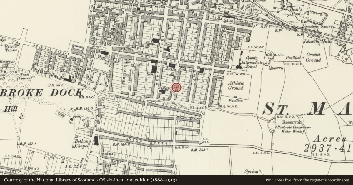
Slide toward Today to fade the historical sheet and see the modern map underneath.
David Rumsey Map Collection, Stanford LibrariesDavid Rumsey Map Collection, Stanford LibrariesDavid Rumsey Map Collection, Stanford LibrariesDavid Rumsey Map Collection, Stanford LibrariesDavid Rumsey Map Collection, Stanford Libraries
5 historical maps cover this location, the earliest the 1636 map "Cornubia : Devonia, Somersetus, Dorcestria, Wiltonia, Glocestria ..." (David Rumsey Map Collection, Stanford Libraries).
Historical maps covering this location
- 1636 · Cornubia : Devonia, Somersetus, Dorcestria, Wiltonia, Glocestria ... (David Rumsey Map Collection, Stanford Libraries)
- 1865 · England and Wales. England No. 6. (David Rumsey Map Collection, Stanford Libraries)
- 1891 · Sheet 10. Ordnance Survey of England and Wales. . (David Rumsey Map Collection, Stanford Libraries)
- 1898 · 228 Haverfordwest (Hills) (David Rumsey Map Collection, Stanford Libraries)
- 1901 · Sheet 13. (David Rumsey Map Collection, Stanford Libraries)
Cadw's description
Location
Situated two-thirds of the way up stepped terraced row.
Exterior
Circa 1850 terraced house, painted stucco with imitation slate roof and rebuilt rendered stack (stone in 1981). Two-storey two-window range of 12-pane sashes. First floor sill band. Door to left has panelled reveals, three-panel door and arched head with radiating and scallopped tracery fanlight. Sash windows are renewed since 1981, when they described as 4-panes wide, and house was pebbledashed then.
Reason for designation
Group value as part of Nos 19 to 33 (odd), a terraced row retaining parts of its original character.
Nearby in the register
- 23 Church StreetDomesticunder 1 mi
- 27 Church StreetDomesticunder 1 mi
- 21 Church StreetDomesticunder 1 mi
- 29 Church StreetDomesticunder 1 mi
Other entries of the same register within about three miles of this one, by straight line.