Cof Cymru: National Historic Assets of Wales · Wales
White Friars
Llanfairfechan, Conwy, Wales
A Grade II listed building in Llanfairfechan, Conwy, designated on 14 April 1992.
The record
- Designation
- Listed building, Grade II
- Broad class
- Domestic
- Date of designation
- 14 April 1992
- Locality
- Llanfairfechan
- Community
- Llanfairfechan
- Unitary authority
- Conwy
- Country
- Wales
- Coordinates
- 53.25689, -3.98518
- Cadw reference
- 5848
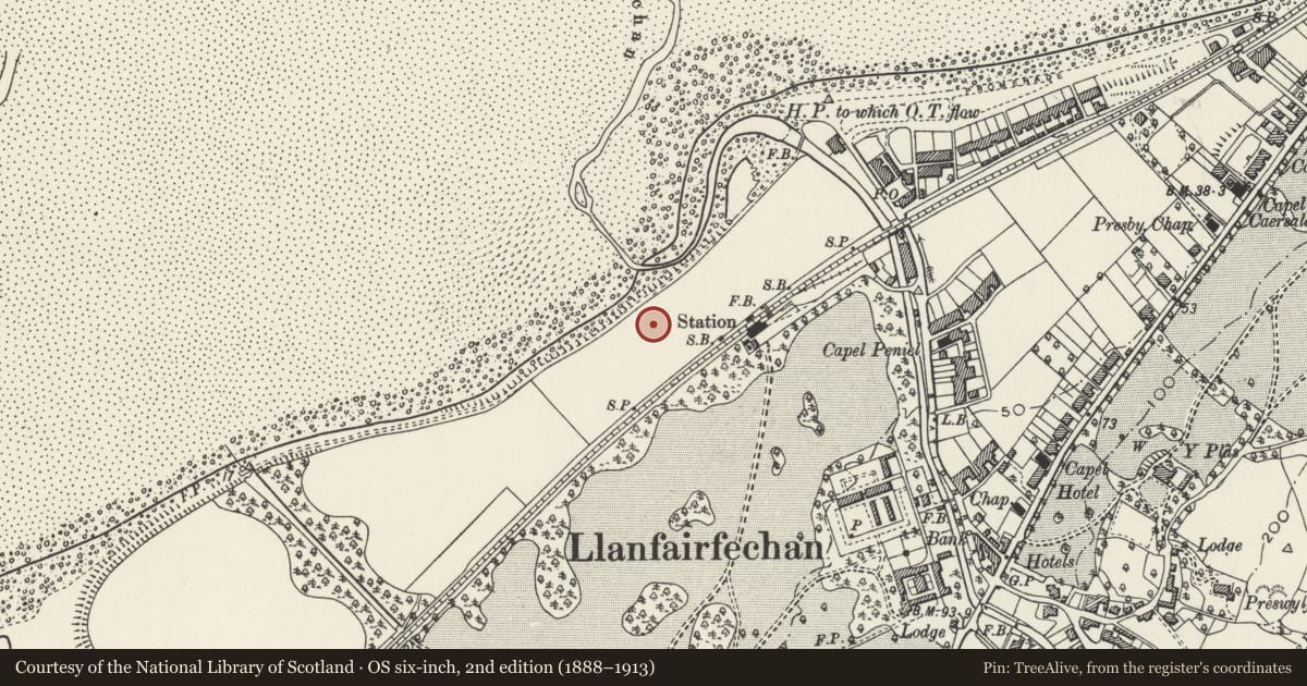
Slide toward Today to fade the historical sheet and see the modern map underneath.
David Rumsey Map Collection, Stanford LibrariesDavid Rumsey Map Collection, Stanford LibrariesDavid Rumsey Map Collection, Stanford LibrariesDavid Rumsey Map Collection, Stanford LibrariesLlyfrgell Genedlaethol Cymru – The National Library of Wales
5 historical maps cover this location, the earliest the 1795 map "To Sir Watkin Williams-Wynn Bart ... the map of the six counties of North Wales is most humbly inscribed by his obedient humble servant" (Llyfrgell Genedlaethol Cymru – The National Library of Wales).
Historical maps covering this location
- 1795 · To Sir Watkin Williams-Wynn Bart ... the map of the six counties of North Wales is most… (Llyfrgell Genedlaethol Cymru – The National Library of Wales)
- 1883 · Watershed map England, Wales 3. (David Rumsey Map Collection, Stanford Libraries)
- 1896 · Sheet 7. Ordnance Survey of England and Wales. (David Rumsey Map Collection, Stanford Libraries)
- 1899 · 106 Bangor (Outline) (David Rumsey Map Collection, Stanford Libraries)
- 1901 · Sheet 9 and 10. (David Rumsey Map Collection, Stanford Libraries)
Cadw's description
Location
Second house from W end of row of houses backing onto West Shore and facing NW towards Sea.
History
1933. By North and Padmore, architects, of Llanfairfechan.
Exterior
Two storey detached house, compact plan. Slate roof laid in graduated courses, brick chimney, walls in rough-cast render painted white. North-west elevation has cross gable to L with roof sweeping down over ground floor on L. Roof slope has dormer with raking roof. Three-light casement window (diamond cames) on first floor (NW). Roof of large grey slates covers porch with panelled wooden door and, to R, bay window. On ground floor, to L, with 3 small round-headed windows. SW gable end has single 3-light casement window on first floor, and on ground floor, one single-light and one 3-light casement. To rear, single storey wing in same style.
At SE end of garden, 2-storey garage with staff accommodation above. Rough-cast render painted off-white, roof in small slates. Overhanging gables, 2-light diapered casement windows in gable, 2 garage doors below. To E and W, roof sweeps over eyebrow dormers with 3-light diapered casement windows.
Nearby in the register
- GorsefieldDomesticunder 1 mi
- TalforDomesticunder 1 mi
- The TowersDomesticunder 1 mi
- GwynforDomesticunder 1 mi
Other entries of the same register within about three miles of this one, by straight line.