Cof Cymru: National Historic Assets of Wales · Wales
Skinner Monument
Holyhead, Isle of Anglesey, Wales
A Grade II listed building in Holyhead, Isle of Anglesey, designated on 26 September 1951.
The record
- Designation
- Listed building, Grade II
- Broad class
- Commemorative
- Date of designation
- 26 September 1951
- Community
- Holyhead
- Unitary authority
- Isle of Anglesey
- Country
- Wales
- Coordinates
- 53.30816, -4.62707
- Cadw reference
- 5417
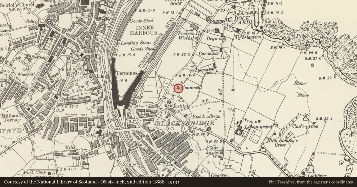
Slide toward Today to fade the historical sheet and see the modern map underneath.
David Rumsey Map Collection, Stanford LibrariesDavid Rumsey Map Collection, Stanford LibrariesDavid Rumsey Map Collection, Stanford LibrariesDavid Rumsey Map Collection, Stanford LibrariesDavid Rumsey Map Collection, Stanford Libraries
5 historical maps cover this location, the earliest the 1799 map "Ireland." (David Rumsey Map Collection, Stanford Libraries).
Historical maps covering this location
- 1799 · Ireland. (David Rumsey Map Collection, Stanford Libraries)
- 1883 · Watershed map England, Wales 3. (David Rumsey Map Collection, Stanford Libraries)
- 1899 · 93 Holyhead (Hills) (David Rumsey Map Collection, Stanford Libraries)
- 1901 · Sheet 9 and 10. (David Rumsey Map Collection, Stanford Libraries)
- 1919 · Sheet 41. Anglesey. (David Rumsey Map Collection, Stanford Libraries)
Cadw's description
Location
Overlooking harbour on rocky outcrop; reached via steps on Turkey Shore Road.
History
1834; obelisk commemorating Captain John MacGregor Skinner RN, commander of Holyhead mail packet, drowned in storm 13 October 1832.
Exterior
Pale stone obelisk. Steps up two-tier plinth supporting obelisk with classicising high-relief decoration of urns and ship’s prows, and Egyptian winged sun. Plinth has reliefs with funereal motifs of urns quenching fire, and inverted torches; square panel with inscription recording virtues of Captain Skinner.
Nearby in the register
- Pillbox near Skinner's MonumentDefenceunder 1 mi
- Stable Block to Plas AlltranDomesticunder 1 mi
- Tanalltran CottagesDomesticunder 1 mi
- 1 Turkey Shore RoadDomesticunder 1 mi
Other entries of the same register within about three miles of this one, by straight line.