Cof Cymru: National Historic Assets of Wales · Wales
Governor House of the Old Gas Works
Dolgellau, Gwynedd, Wales
A Grade II listed building in Dolgellau, Gwynedd, designated on 19 June 1990.
The record
- Designation
- Listed building, Grade II
- Broad class
- Domestic
- Date of designation
- 19 June 1990
- Community
- Dolgellau
- Unitary authority
- Gwynedd
- Country
- Wales
- Coordinates
- 52.74355, -3.88453
- Cadw reference
- 5076
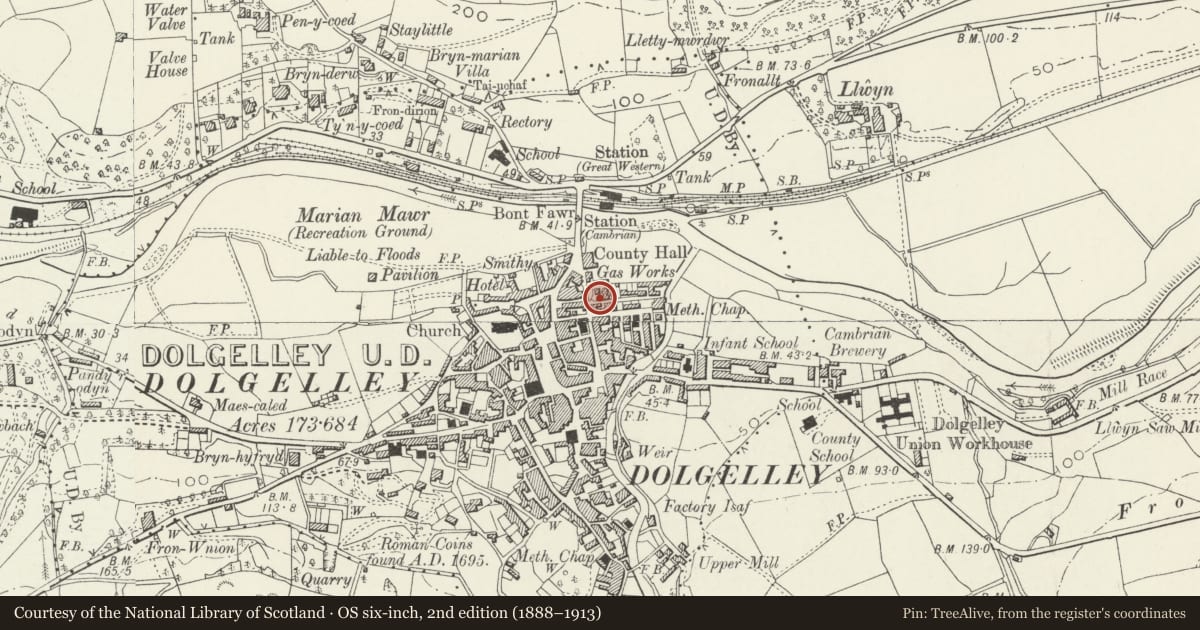
Slide toward Today to fade the historical sheet and see the modern map underneath.
David Rumsey Map Collection, Stanford LibrariesDavid Rumsey Map Collection, Stanford LibrariesDavid Rumsey Map Collection, Stanford LibrariesLlyfrgell Genedlaethol Cymru – The National Library of WalesDavid Rumsey Map Collection, Stanford Libraries
5 historical maps cover this location, the earliest the 1795 map "To Sir Watkin Williams-Wynn Bart ... the map of the six counties of North Wales is most humbly inscribed by his obedient humble servant" (Llyfrgell Genedlaethol Cymru – The National Library of Wales).
Historical maps covering this location
- 1795 · To Sir Watkin Williams-Wynn Bart ... the map of the six counties of North Wales is most… (Llyfrgell Genedlaethol Cymru – The National Library of Wales)
- 1883 · Watershed map England, Wales 3. (David Rumsey Map Collection, Stanford Libraries)
- 1896 · Sheet 7. Ordnance Survey of England and Wales. (David Rumsey Map Collection, Stanford Libraries)
- 1899 · 135 Harlech (Hills) (David Rumsey Map Collection, Stanford Libraries)
- 1901 · Sheet 9 and 10. (David Rumsey Map Collection, Stanford Libraries)
Cadw's description
Location
Set back from the street line alongside Smithfield Lane.
History
Mid Cl9.
Exterior
Low, small, single storey coursed rubble chamber. Canted left hand corner. Hipped slate roof, close eaves.
Round arched window to right, stone voussoirs. 9 pane fixed light window. Round arched doorway to canted corner at left. Stone voussoirs, modern plank door.
Reason for designation
Group value with Retort House to left.
Nearby in the register
- Retort House of the Old Gas Works (Now Gas Showroom)Commercialunder 1 mi
- Former Agricultural MerchantsCommercialunder 1 mi
- 1 Waterloo StreetDomesticunder 1 mi
- Nigel J. Elson, Roofing RepairsCommercialunder 1 mi
Other entries of the same register within about three miles of this one, by straight line.