Cof Cymru: National Historic Assets of Wales · Wales
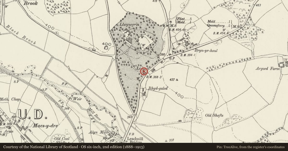
Lodge to Llwynegrin
Mold, Flintshire, Wales
A Grade II listed building in Mold, Flintshire, designated on 30 March 1987.
The record
- Designation
- Listed building, Grade II
- Broad class
- Domestic
- Date of designation
- 30 March 1987
- Community
- Mold
- Unitary authority
- Flintshire
- Country
- Wales
- Coordinates
- 53.17594, -3.13517
- Cadw reference
- 408
Slide toward Today to fade the historical sheet and see the modern map underneath.
David Rumsey Map Collection, Stanford LibrariesDavid Rumsey Map Collection, Stanford LibrariesDavid Rumsey Map Collection, Stanford LibrariesDavid Rumsey Map Collection, Stanford LibrariesLlyfrgell Genedlaethol Cymru – The National Library of Wales
5 historical maps cover this location, the earliest the 1795 map "To Sir Watkin Williams-Wynn Bart ... the map of the six counties of North Wales is most humbly inscribed by his obedient humble servant" (Llyfrgell Genedlaethol Cymru – The National Library of Wales).
Historical maps covering this location
- 1795 · To Sir Watkin Williams-Wynn Bart ... the map of the six counties of North Wales is most… (Llyfrgell Genedlaethol Cymru – The National Library of Wales)
- 1883 · Watershed map England, Wales 3. (David Rumsey Map Collection, Stanford Libraries)
- 1898 · 108 Flint (Hills) (David Rumsey Map Collection, Stanford Libraries)
- 1898 · 108 Flint (Outline) (David Rumsey Map Collection, Stanford Libraries)
- 1901 · Sheet 9 and 10. (David Rumsey Map Collection, Stanford Libraries)
Cadw's description
Location
Set back from road behind former gateway overlooked by Civic Centre.
Exterior
1845 for Philip Davies-Cooke of Gwysaney as a lodge for Llwynegrin. Simple tudor style symmetrical single storey 2 window front. Squared uncoursed sandstone. Prominent single storey gabled porch. Medium pitched slate roof, deep eaves and verges with pierced scaloped bargeboards and gable finials. Central stack, chamfered twin flue stalks on base.
12 pane modern casements. Moulded returned labels, stone sills. pointed doorway, sunk panelled spandrels, returned label. Original door.
Contemporary outbuildings to rear.
Nearby in the register
- Llwynegrin County Civic CentreCommercialunder 1 mi
- BroadwayDomesticunder 1 mi
- Bryn-Yr-HaulDomesticunder 1 mi
- Theatr ClwydCivilunder 1 mi
Other entries of the same register within about three miles of this one, by straight line.