Cof Cymru: National Historic Assets of Wales · Wales
201 High Street
Bangor, Gwynedd, Wales
A Grade II listed building in Bangor, Gwynedd, designated on 17 April 1980.
The record
- Designation
- Listed building, Grade II
- Broad class
- Commercial
- Date of designation
- 17 April 1980
- Community
- Bangor
- Unitary authority
- Gwynedd
- Country
- Wales
- Coordinates
- 53.22579, -4.12763
- Cadw reference
- 4025
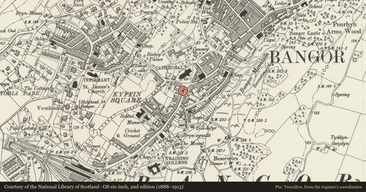
Slide toward Today to fade the historical sheet and see the modern map underneath.
David Rumsey Map Collection, Stanford LibrariesDavid Rumsey Map Collection, Stanford LibrariesDavid Rumsey Map Collection, Stanford LibrariesDavid Rumsey Map Collection, Stanford LibrariesDavid Rumsey Map Collection, Stanford Libraries
5 historical maps cover this location, the earliest the 1896 map "Sheet 7. Ordnance Survey of England and Wales." (David Rumsey Map Collection, Stanford Libraries).
Historical maps covering this location
- 1896 · Sheet 7. Ordnance Survey of England and Wales. (David Rumsey Map Collection, Stanford Libraries)
- 1899 · 106 Bangor (Outline) (David Rumsey Map Collection, Stanford Libraries)
- 1899 · 106 Bangor (Hills) (David Rumsey Map Collection, Stanford Libraries)
- 1901 · Sheet 9 and 10. (David Rumsey Map Collection, Stanford Libraries)
- 1919 · Sheet 41. Anglesey. (David Rumsey Map Collection, Stanford Libraries)
Cadw's description
Location
Set forward to left of the Castle Hotel; set in the slope.
History
Late Georgian; shown on John Wood’s 1834 map.
Exterior
3-storey 2-window stycco front with slate roof. Small pane sash windows, the 1st floor with intersecting Gothic tracery. Overall C19 shop front and semi-elliptical carriageway to left with boarded doors; panelled pilasters, ramped fascia and cornice. 2 shop windows, smaller to left, and central half glazed door with panelled reveals.
Reason for designation
Group value with neighbouring listed items in High Street
Nearby in the register
- Lady BerwenCommercialunder 1 mi
- Alton MurphyCommercialunder 1 mi
- Debenhams (Nos 172,174 & 196)Commercialunder 1 mi
- The Albion Hotel PHCommercialunder 1 mi
Other entries of the same register within about three miles of this one, by straight line.