Cof Cymru: National Historic Assets of Wales · Wales
Mount Pleasant Terrace
Bangor, Gwynedd, Wales
A Grade II listed building in Bangor, Gwynedd, designated on 2 August 1988.
The record
- Designation
- Listed building, Grade II
- Broad class
- Domestic
- Date of designation
- 2 August 1988
- Community
- Bangor
- Unitary authority
- Gwynedd
- Country
- Wales
- Coordinates
- 53.22750, -4.13179
- Cadw reference
- 3975
Slide toward Today to fade the historical sheet and see the modern map underneath.
David Rumsey Map Collection, Stanford LibrariesDavid Rumsey Map Collection, Stanford LibrariesDavid Rumsey Map Collection, Stanford LibrariesDavid Rumsey Map Collection, Stanford LibrariesDavid Rumsey Map Collection, Stanford Libraries
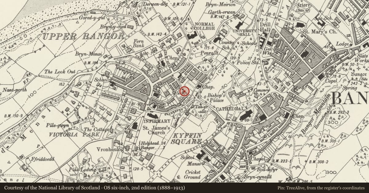
5 historical maps cover this location, the earliest the 1896 map "Sheet 7. Ordnance Survey of England and Wales." (David Rumsey Map Collection, Stanford Libraries).
Historical maps covering this location
- 1896 · Sheet 7. Ordnance Survey of England and Wales. (David Rumsey Map Collection, Stanford Libraries)
- 1899 · 106 Bangor (Outline) (David Rumsey Map Collection, Stanford Libraries)
- 1899 · 106 Bangor (Hills) (David Rumsey Map Collection, Stanford Libraries)
- 1901 · Sheet 9 and 10. (David Rumsey Map Collection, Stanford Libraries)
- 1919 · Sheet 41. Anglesey. (David Rumsey Map Collection, Stanford Libraries)
Cadw's description
Location
Set well below the road with gardens rising up to the front.
History
Mid C19 (shown on Captain Johnson’s 1854 map)
Exterior
Uniform terrace of 2-storey, basement and attic 2-window scribed stucco and roughcast fronts, except to No 5 which has 3 windows. Slate roof with cresting to Nos 1 to 3; rendered and brick chimney stacks. Gabled slate hung dormers with casement windows except to No 3 which has modern flat roof attic. Sash windows below, mainly 12-pane; glazing bars removed to No 4. Moulded architraves and overall 1st floor cill band with classical brackets. Half-glazed and modern doors. Some alterations to basements.
Rendered brick to rear with cill bands and small pane sash windows.
Nearby in the register
- Mount Pleasant TerraceDomesticunder 1 mi
- Mount Pleasant TerraceDomesticunder 1 mi
- Mount Pleasant TerraceDomesticunder 1 mi
- Mount Pleasant TerraceDomesticunder 1 mi
Other entries of the same register within about three miles of this one, by straight line.