Cof Cymru: National Historic Assets of Wales · Wales
Outbuildings to the Service Courtyard at SE. of the Town Hall
Bangor, Gwynedd, Wales
A Grade II listed building in Bangor, Gwynedd, designated on 2 August 1988.
The record
- Designation
- Listed building, Grade II
- Broad class
- Domestic
- Date of designation
- 2 August 1988
- Community
- Bangor
- Unitary authority
- Gwynedd
- Country
- Wales
- Coordinates
- 53.22723, -4.12763
- Cadw reference
- 3952
Slide toward Today to fade the historical sheet and see the modern map underneath.
David Rumsey Map Collection, Stanford LibrariesDavid Rumsey Map Collection, Stanford LibrariesDavid Rumsey Map Collection, Stanford LibrariesDavid Rumsey Map Collection, Stanford LibrariesDavid Rumsey Map Collection, Stanford Libraries
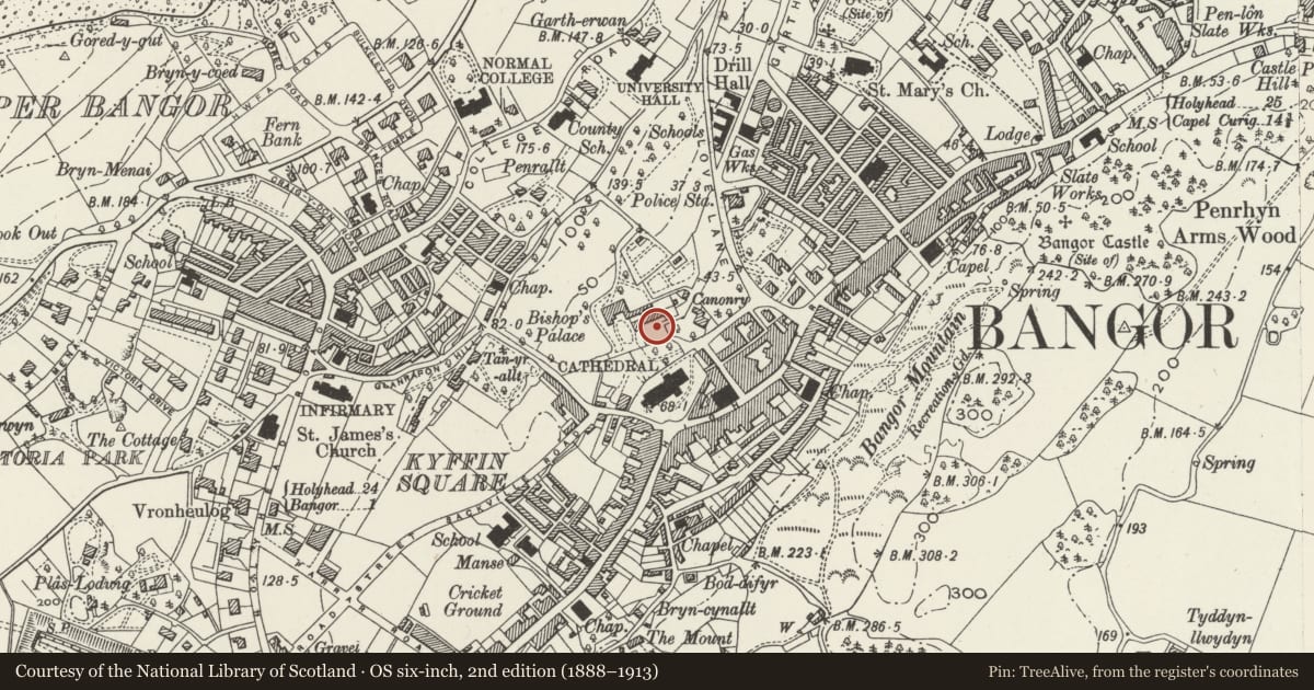
5 historical maps cover this location, the earliest the 1896 map "Sheet 7. Ordnance Survey of England and Wales." (David Rumsey Map Collection, Stanford Libraries).
Historical maps covering this location
- 1896 · Sheet 7. Ordnance Survey of England and Wales. (David Rumsey Map Collection, Stanford Libraries)
- 1899 · 106 Bangor (Outline) (David Rumsey Map Collection, Stanford Libraries)
- 1899 · 106 Bangor (Hills) (David Rumsey Map Collection, Stanford Libraries)
- 1901 · Sheet 9 and 10. (David Rumsey Map Collection, Stanford Libraries)
- 1919 · Sheet 41. Anglesey. (David Rumsey Map Collection, Stanford Libraries)
Cadw's description
Location
Attached to the right hand cross range and fronting Ffordd Gwynedd to E.
History
Formerly the service buildings to the Bishop Palace. (Browne Willis in 1721 refers to stables built by Bishop Skevington over which were granaries about 30 yds long.)
Exterior
The buildings today are largely early C19 (the time of Bishop Majendie’s episcopate) with modern alterations subsequent to the 1960 conversion to Town Hall use. To W side a screenwall adjoins the gable end of the Town Hall and links with low 2-storey brick range facing the drive; slate roofs. This returns to the right and beyond is the taller former coach house with 6-window S front; small pane sash windows to 1st floor with cill band and diagonally set brick cornice. Timber lintels over boarded coach openings and inserted drip moulds. Band course continues around the plan brick E elevation with crenellated screen wall and broad opening. External staircase to coach house inner side, with the modern additions effectively creating two smaller courtyards.
Reason for designation
In poor condition at time of inspection (October 1987). Included for group value with the Town Hall.
Nearby in the register
- Gateway to Bible GardenCommemorativeunder 1 mi
- Lending LibraryRecreationalunder 1 mi
- Bangor Museum & Art Gallery, including outbuilding at NW endRecreationalunder 1 mi
- Town HallCivilunder 1 mi
Other entries of the same register within about three miles of this one, by straight line.