Cof Cymru: National Historic Assets of Wales · Wales
Chick King (including 80 Ambrose Street)
Bangor, Gwynedd, Wales
A Grade II listed building in Hirael, Bangor, Gwynedd, designated on 2 August 1988.
The record
- Designation
- Listed building, Grade II
- Broad class
- Commercial
- Date of designation
- 2 August 1988
- Locality
- Hirael
- Town
- Bangor
- Community
- Bangor
- Unitary authority
- Gwynedd
- Country
- Wales
- Coordinates
- 53.23211, -4.11783
- Cadw reference
- 3943
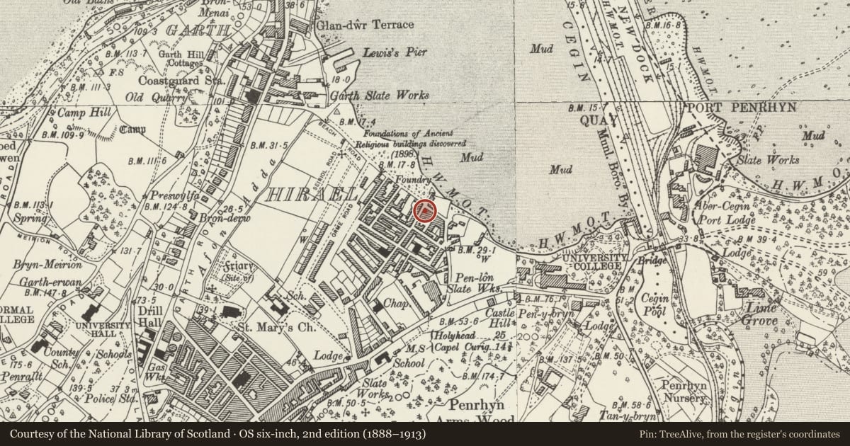
Slide toward Today to fade the historical sheet and see the modern map underneath.
David Rumsey Map Collection, Stanford LibrariesDavid Rumsey Map Collection, Stanford LibrariesDavid Rumsey Map Collection, Stanford LibrariesDavid Rumsey Map Collection, Stanford LibrariesDavid Rumsey Map Collection, Stanford Libraries
5 historical maps cover this location, the earliest the 1896 map "Sheet 7. Ordnance Survey of England and Wales." (David Rumsey Map Collection, Stanford Libraries).
Historical maps covering this location
- 1896 · Sheet 7. Ordnance Survey of England and Wales. (David Rumsey Map Collection, Stanford Libraries)
- 1899 · 106 Bangor (Outline) (David Rumsey Map Collection, Stanford Libraries)
- 1899 · 106 Bangor (Hills) (David Rumsey Map Collection, Stanford Libraries)
- 1901 · Sheet 9 and 10. (David Rumsey Map Collection, Stanford Libraries)
- 1919 · Sheet 41. Anglesey. (David Rumsey Map Collection, Stanford Libraries)
Cadw's description
Location
On the corner with Ambrose Street, facing the foreshore.
History
Shown on John Wood’s 1834 map.
Exterior
Late Georgian 2-storey structure with 3-window rubble elevations, symmetrical to main front. Slate roof and brick chimney stacks; 12-pane sash windows, some horned. Modern shop front canopies to main elevation and central 6-panel door with voussoir lintel below slate plaque. This states that John Richards, composer, lived in this house (1834-1901); the plaque was unveiled on August 5 1943. 6-panel door to Ambrose Street with diamond panelled fanlight.
Nearby in the register
- 3 Seiriol RoadDomesticunder 1 mi
- 5 Seiriol RoadDomesticunder 1 mi
- 7 Seiriol RoadDomesticunder 1 mi
- 11 Seiriol RoadDomesticunder 1 mi
Other entries of the same register within about three miles of this one, by straight line.