Cof Cymru: National Historic Assets of Wales · Wales
Piers Gates & Railings at Queen's Road Entrance to the North Wales Medical Centre
Llandudno, Conwy, Wales
A Grade II listed building in Craig-y-Don, Llandudno, Conwy, designated on 16 March 1976.
The record
- Designation
- Listed building, Grade II
- Broad class
- Domestic
- Date of designation
- 16 March 1976
- Locality
- Craig-y-Don
- Town
- Llandudno
- Community
- Llandudno
- Unitary authority
- Conwy
- Country
- Wales
- Coordinates
- 53.31404, -3.81072
- Cadw reference
- 3478
Slide toward Today to fade the historical sheet and see the modern map underneath.
David Rumsey Map Collection, Stanford LibrariesDavid Rumsey Map Collection, Stanford LibrariesDavid Rumsey Map Collection, Stanford LibrariesLlyfrgell Genedlaethol Cymru – The National Library of WalesNational Library of Scotland
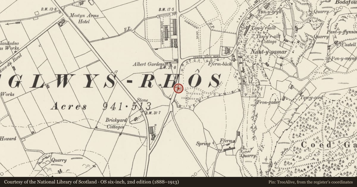
5 historical maps cover this location, the earliest the 1795 map "To Sir Watkin Williams-Wynn Bart ... the map of the six counties of North Wales is most humbly inscribed by his obedient humble servant" (Llyfrgell Genedlaethol Cymru – The National Library of Wales).
Historical maps covering this location
- 1795 · To Sir Watkin Williams-Wynn Bart ... the map of the six counties of North Wales is most… (Llyfrgell Genedlaethol Cymru – The National Library of Wales)
- 1883 · Watershed map England, Wales 3. (David Rumsey Map Collection, Stanford Libraries)
- 1899 · 94 Beaumaris (Hills) (David Rumsey Map Collection, Stanford Libraries)
- 1901 · Sheet 9 and 10. (David Rumsey Map Collection, Stanford Libraries)
- 1930 · OS Popular Edition 1919-1947 (National Library of Scotland)
Cadw's description
Location
At Queen's Road entrance to grounds of North Wales Medical Centre.
History
Circa 1904, contemporary with former Convalescent Home.
Exterior
Gate piers with bands of rusticated limestone alternating with bands of sandstone ashlar and with coping and urn finials. Ornate pair of wrought iron gates. The iron railings attached to outer face of each gate pier extends outwards to further piers of rusticated stone with plain capping.
Reason for designation
Included for groupvalue with Medical Centre and Queen's Road Lodge.
Nearby in the register
- Queen's Road Lodge to North Wales Medical CentreDomesticunder 1 mi
- North Wales Medical CentreHealth and Welfareunder 1 mi
- Rapallo HouseDomesticunder 1 mi
- Rear Lodge to North Wales Medical CentreDomesticunder 1 mi
Other entries of the same register within about three miles of this one, by straight line.