Cof Cymru: National Historic Assets of Wales · Wales
Grave slab of Hugh Owen of Bodidda in Gyffin churchyard
Conwy, Conwy, Wales
A Grade II listed building in Gyffin, Conwy, designated on 8 October 1981.
The record
- Designation
- Listed building, Grade II
- Broad class
- Commemorative
- Date of designation
- 8 October 1981
- Locality
- Gyffin
- Community
- Conwy
- Unitary authority
- Conwy
- Country
- Wales
- Coordinates
- 53.27511, -3.83615
- Cadw reference
- 3293
Slide toward Today to fade the historical sheet and see the modern map underneath.
David Rumsey Map Collection, Stanford LibrariesDavid Rumsey Map Collection, Stanford LibrariesDavid Rumsey Map Collection, Stanford LibrariesLlyfrgell Genedlaethol Cymru – The National Library of WalesDavid Rumsey Map Collection, Stanford Libraries
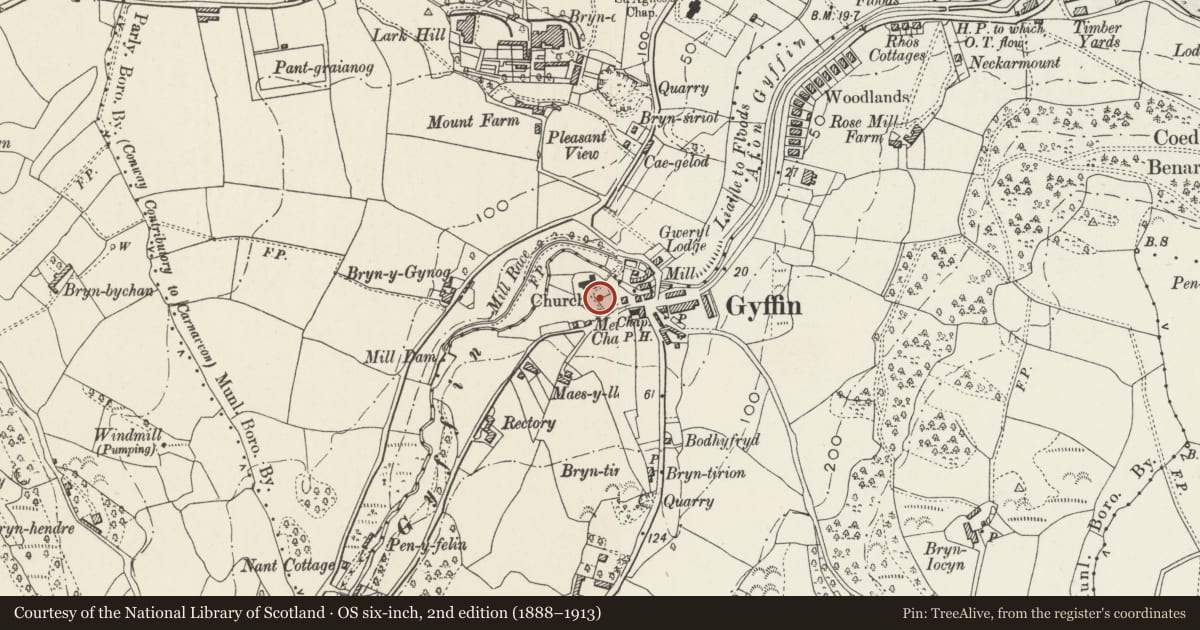
5 historical maps cover this location, the earliest the 1795 map "To Sir Watkin Williams-Wynn Bart ... the map of the six counties of North Wales is most humbly inscribed by his obedient humble servant" (Llyfrgell Genedlaethol Cymru – The National Library of Wales).
Historical maps covering this location
- 1795 · To Sir Watkin Williams-Wynn Bart ... the map of the six counties of North Wales is most… (Llyfrgell Genedlaethol Cymru – The National Library of Wales)
- 1830 · V.3:11-15:XV. Britisches Reich. A. Kon: England. b. Frstenthum Wales: Shire: 37-40 (David Rumsey Map Collection, Stanford Libraries)
- 1883 · Watershed map England, Wales 3. (David Rumsey Map Collection, Stanford Libraries)
- 1899 · 94 Beaumaris (Hills) (David Rumsey Map Collection, Stanford Libraries)
- 1901 · Sheet 9 and 10. (David Rumsey Map Collection, Stanford Libraries)
Cadw's description
Location
On the S side of the nave.
Exterior
A C17 or C18 freestone grave slab on a narrow low plinth. The weathered slab has memorial inscriptions to Hugh Owen and his wife Catherine. The slab has a quartered shield in the centre, and enriched border.
Reason for designation
Listed as an early churchyard memorial and, with other associated listed items, for group value with the church.
Nearby in the register
- Grave slab of John Holland and John Holland in Gyffin churchyardCommemorativeunder 1 mi
- Wall, including gate piers and gate, surrounding Gyffin churchyardReligious, Ritual and Funeraryunder 1 mi
- Grave slab of John Stodart in Gyffin churchyardNo class recordedunder 1 mi
- Church of St BenedictReligious, Ritual and Funeraryunder 1 mi
Other entries of the same register within about three miles of this one, by straight line.