Cof Cymru: National Historic Assets of Wales · Wales
Church House
Caerhun, Conwy, Wales
A Grade II listed building in Llanbedr-y-Cennin, Caerhun, Conwy, designated on 13 October 1966.
The record
- Designation
- Listed building, Grade II
- Broad class
- Domestic
- Date of designation
- 13 October 1966
- Welsh name
- Nichola Smith
- Locality
- Llanbedr-y-Cennin
- Community
- Caerhun
- Unitary authority
- Conwy
- Country
- Wales
- Coordinates
- 53.20819, -3.85689
- Cadw reference
- 3208
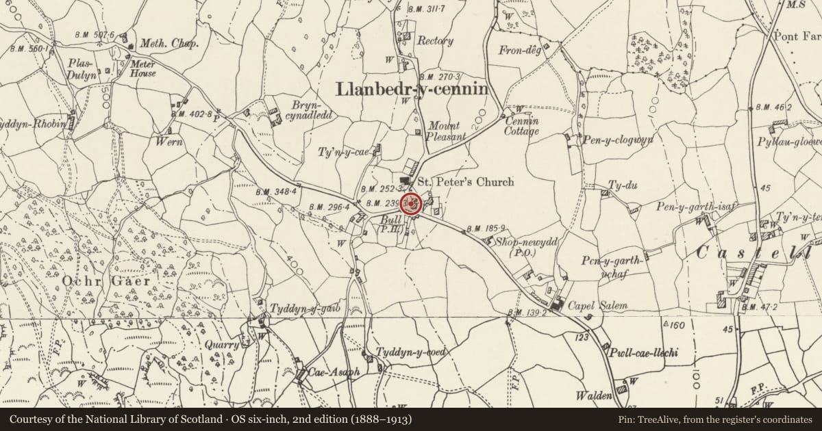
Slide toward Today to fade the historical sheet and see the modern map underneath.
David Rumsey Map Collection, Stanford LibrariesDavid Rumsey Map Collection, Stanford LibrariesDavid Rumsey Map Collection, Stanford LibrariesDavid Rumsey Map Collection, Stanford LibrariesDavid Rumsey Map Collection, Stanford Libraries
5 historical maps cover this location, the earliest the 1883 map "Watershed map England, Wales 3." (David Rumsey Map Collection, Stanford Libraries).
Historical maps covering this location
- 1883 · Watershed map England, Wales 3. (David Rumsey Map Collection, Stanford Libraries)
- 1896 · Sheet 7. Ordnance Survey of England and Wales. (David Rumsey Map Collection, Stanford Libraries)
- 1899 · 106 Bangor (Hills) (David Rumsey Map Collection, Stanford Libraries)
- 1899 · 106 Bangor (Outline) (David Rumsey Map Collection, Stanford Libraries)
- 1901 · Sheet 9 and 10. (David Rumsey Map Collection, Stanford Libraries)
Cadw's description
Location
Prominently located at the T-junction at the village centre opposite the Bull Inn; built into the slope of the hill.
Reason for designation
An C18 vernacular house in a prominent position and with scarce C19 oat kiln. Group value with other listed items in Llanbedr-y-Cennin.
Nearby in the register
- Church CottageDomesticunder 1 mi
- Ye Olde Bull InnCommercialunder 1 mi
- Parish Church of St PeterReligious, Ritual and Funeraryunder 1 mi
- Tyddyn-y-Coed FarmhouseDomesticunder 1 mi
Other entries of the same register within about three miles of this one, by straight line.