Cof Cymru: National Historic Assets of Wales · Wales
Sundial at Golden Grove
Llanasa, Flintshire, Wales
A Grade II listed building in Golden Grove, Llanasa, Flintshire, designated on 6 November 1962.
The record
- Designation
- Listed building, Grade II
- Broad class
- Gardens, Parks and Urban Spaces
- Date of designation
- 6 November 1962
- Locality
- Golden Grove
- Community
- Llanasa
- Unitary authority
- Flintshire
- Country
- Wales
- Coordinates
- 53.32262, -3.36941
- Cadw reference
- 302
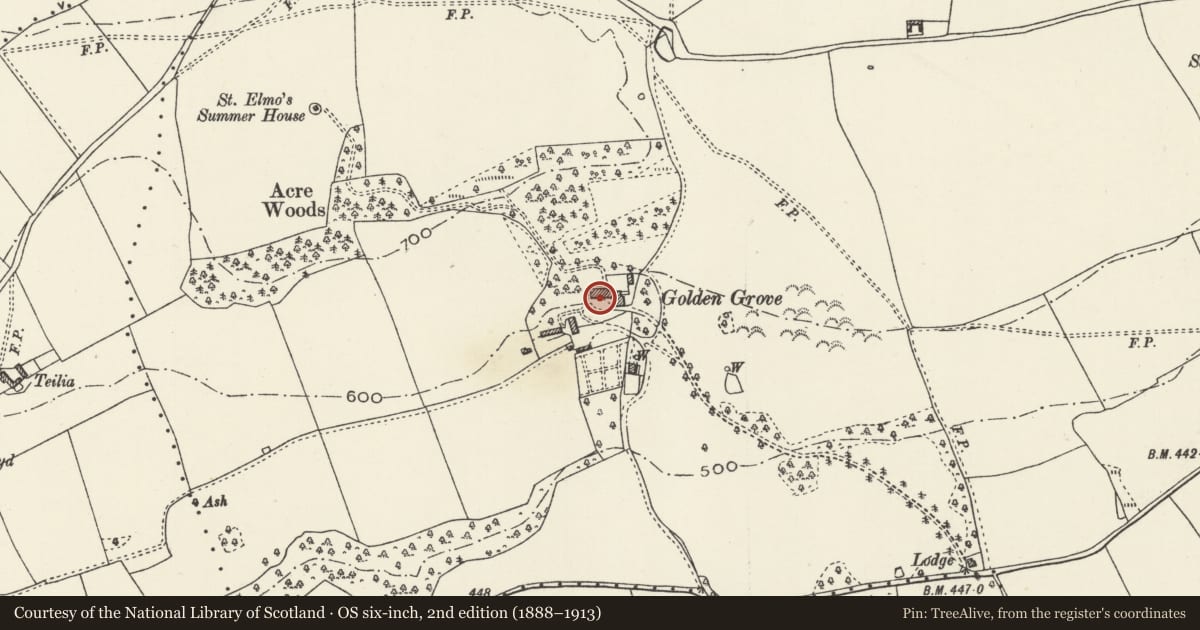
Slide toward Today to fade the historical sheet and see the modern map underneath.
David Rumsey Map Collection, Stanford LibrariesDavid Rumsey Map Collection, Stanford LibrariesNational Library of ScotlandNational Library of Scotland
4 historical maps cover this location, the earliest the 1883 map "Watershed map England, Wales 3." (David Rumsey Map Collection, Stanford Libraries).
Historical maps covering this location
- 1883 · Watershed map England, Wales 3. (David Rumsey Map Collection, Stanford Libraries)
- 1885 · OS One-Inch (Hills) 1885-1903 (National Library of Scotland)
- 1901 · Sheet 9 and 10. (David Rumsey Map Collection, Stanford Libraries)
- 1930 · OS Popular Edition 1919-1947 (National Library of Scotland)
Cadw's description
Location
On the SW side of the house
History
Golden Grove was built in 1578 by Edward Morgan. The sundial was placed in front of the house in 1590.
Exterior
A freestone square pedestal with stop-chamfered angles and '1590' engraved on the E side facing the house. The top surface has engraved hour marks and a socket for the gnomon (now missing).
Reason for designation
Listed as an exceptionally early surviving sundial and for group value with Golden Grove.
Nearby in the register
- Golden GroveDomesticunder 1 mi
- Upper steps to terraced garden at Golden GroveGardens, Parks and Urban Spacesunder 1 mi
- Lower steps to terraced garden at Golden GroveGardens, Parks and Urban Spacesunder 1 mi
- Barn at Golden GroveAgriculture and Subsistenceunder 1 mi
Other entries of the same register within about three miles of this one, by straight line.