Cof Cymru: National Historic Assets of Wales · Wales
4 Mount Pleasant
Chepstow, Monmouthshire, Wales
A Grade II listed building in Chepstow, Monmouthshire, designated on 24 March 1975.
The record
- Designation
- Listed building, Grade II
- Broad class
- Domestic
- Date of designation
- 24 March 1975
- Locality
- Chepstow
- Town
- Chepstow
- Community
- Chepstow
- Unitary authority
- Monmouthshire
- Country
- Wales
- Coordinates
- 51.63947, -2.67866
- Cadw reference
- 27123
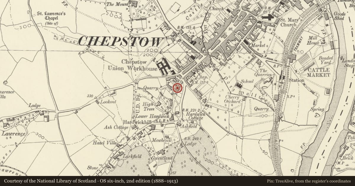
Slide toward Today to fade the historical sheet and see the modern map underneath.
David Rumsey Map Collection, Stanford LibrariesDavid Rumsey Map Collection, Stanford LibrariesDavid Rumsey Map Collection, Stanford LibrariesDavid Rumsey Map Collection, Stanford LibrariesDavid Rumsey Map Collection, Stanford Libraries
5 historical maps cover this location, the earliest the 1636 map "Cornubia : Devonia, Somersetus, Dorcestria, Wiltonia, Glocestria ..." (David Rumsey Map Collection, Stanford Libraries).
Historical maps covering this location
- 1636 · Cornubia : Devonia, Somersetus, Dorcestria, Wiltonia, Glocestria ... (David Rumsey Map Collection, Stanford Libraries)
- 1830 · V.3:11-15:XV.Britisches Reich. A. Kon: England. a. England ab sich: Shire:15-17, 33 (David Rumsey Map Collection, Stanford Libraries)
- 1895 · Sheet 11. Ordnance Survey of England and Wales. (David Rumsey Map Collection, Stanford Libraries)
- 1897 · 250 Chepstow (Outline) (David Rumsey Map Collection, Stanford Libraries)
- 1905 · 250 Chepstow (Hills) (David Rumsey Map Collection, Stanford Libraries)
Cadw's description
Location
Continuous terrace on the hillside well above and facing out over River Wye, set above and back from the main road. Numbering ascends downhill.
History
Early C19, c 1832. Numbers 2 and 3 at top may be alterations of an existing building originally fronting Steep Street. It is suggested from some internal evidence that wooden balconies formed part of the original design, but these have not survived. Water was stored in cisterns under the houses.
Exterior
Number 4 has 4-pane windows to top floor, 12-pane sash and casement to first floor, replaced door in a rusticated surround with radial glazing bars to fanlight, altered tripartitite ground floor window. Chimney removed.
Reason for designation
Listed as an early C19 terrace retaining overall character.
Nearby in the register
- 5 Mount PleasantDomesticunder 1 mi
- 3 Mount PleasantDomesticunder 1 mi
- 6 Mount PleasantDomesticunder 1 mi
- 2 Mount PleasantDomesticunder 1 mi
Other entries of the same register within about three miles of this one, by straight line.