Cof Cymru: National Historic Assets of Wales · Wales
Ffynnon Fair
Llansteffan, Carmarthenshire, Wales
A Grade II listed building in Llansteffan, Carmarthen, Carmarthenshire, designated on 5 November 2002.
The record
- Designation
- Listed building, Grade II
- Broad class
- Water Supply and Drainage
- Date of designation
- 5 November 2002
- Locality
- Llansteffan
- Town
- Carmarthen
- Community
- Llansteffan
- Unitary authority
- Carmarthenshire
- Country
- Wales
- Coordinates
- 51.77088, -4.39346
- Cadw reference
- 27071
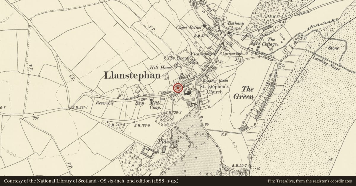
Slide toward Today to fade the historical sheet and see the modern map underneath.
David Rumsey Map Collection, Stanford LibrariesDavid Rumsey Map Collection, Stanford LibrariesDavid Rumsey Map Collection, Stanford LibrariesDavid Rumsey Map Collection, Stanford LibrariesDavid Rumsey Map Collection, Stanford Libraries
5 historical maps cover this location, the earliest the 1636 map "Cornubia : Devonia, Somersetus, Dorcestria, Wiltonia, Glocestria ..." (David Rumsey Map Collection, Stanford Libraries).
Historical maps covering this location
- 1636 · Cornubia : Devonia, Somersetus, Dorcestria, Wiltonia, Glocestria ... (David Rumsey Map Collection, Stanford Libraries)
- 1860 · 41. Caermathen. (David Rumsey Map Collection, Stanford Libraries)
- 1891 · Sheet 10. Ordnance Survey of England and Wales. . (David Rumsey Map Collection, Stanford Libraries)
- 1898 · 229 Carmarthen (Hills) (David Rumsey Map Collection, Stanford Libraries)
- 1920 · Sheet 100. Llanelly. (David Rumsey Map Collection, Stanford Libraries)
Cadw's description
Location
In front of Well House, set into the wall by the roadside.
History
Stone well-house possibly medieval in origin, framing well dedicated to the Virgin Mary. Not apparently listed in Francis Jones The Holy Wells of Wales.
Exterior
Rubble stone well-chamber with large stone block over chamber. Squared stone front with triangular-headed small opening at road-side providing access. Stone pool within.
Reason for designation
Included as a well with religious associations suggesting medieval origins.
Nearby in the register
- Ffynnon Fair HouseDomesticunder 1 mi
- Vale ViewCommercialunder 1 mi
- Church of St YstyffanReligious, Ritual and Funeraryunder 1 mi
- Telephone Call-box outside the Old Pound.Communicationsunder 1 mi
Other entries of the same register within about three miles of this one, by straight line.