Cof Cymru: National Historic Assets of Wales · Wales
Pen-yr-allt
Llanfihangel, Powys, Wales
A Grade II listed building in Pont-Llogel, Llanfihangel, Powys, designated on 25 October 2002.
The record
- Designation
- Listed building, Grade II
- Broad class
- Agriculture and Subsistence
- Date of designation
- 25 October 2002
- Locality
- Pont-Llogel
- Community
- Llanfihangel
- Unitary authority
- Powys
- Country
- Wales
- Coordinates
- 52.73693, -3.44137
- Cadw reference
- 27040
Slide toward Today to fade the historical sheet and see the modern map underneath.
David Rumsey Map Collection, Stanford LibrariesDavid Rumsey Map Collection, Stanford LibrariesLlyfrgell Genedlaethol Cymru – The National Library of WalesDavid Rumsey Map Collection, Stanford LibrariesDavid Rumsey Map Collection, Stanford Libraries
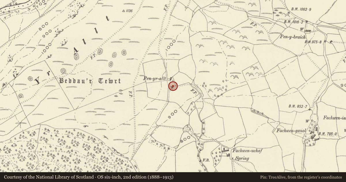
5 historical maps cover this location, the earliest the 1608 map "(13) Cambriae Typus." (David Rumsey Map Collection, Stanford Libraries).
Historical maps covering this location
- 1608 · (13) Cambriae Typus. (David Rumsey Map Collection, Stanford Libraries)
- 1795 · To Sir Watkin Williams-Wynn Bart ... the map of the six counties of North Wales is most… (Llyfrgell Genedlaethol Cymru – The National Library of Wales)
- 1883 · Watershed map England, Wales 3. (David Rumsey Map Collection, Stanford Libraries)
- 1899 · 150 Dinas-Mawddwy (Hills) (David Rumsey Map Collection, Stanford Libraries)
- 1901 · Sheet 9 and 10. (David Rumsey Map Collection, Stanford Libraries)
Cadw's description
Location
Reached by a kilometre-long farm track from a minor road about 2 km north of Pont-Llogel. Farm outbuilding to north.
History
A small Wynnstay estate farmhouse of a locally common type, built in this case for Mr Evans, a tenant who was both an estate mason and a farmer on a small scale (and who therefore might himself have had some hand in building it?). Pen-yr-allt was built c. 1880 replacing an earlier farmhouse. The windows have been restored without loss of character.
Exterior
A two-storey, three window small farmhouse in axe-dressed uncoursed masonry with larger selected quoins, facing a small garden and with its rear to its farmyard. Slate roof with tile ridge. Stone end-chimney at left. Outshut and small recent addition to rear.
Two or three light small-pane upper windows with iron opening casements. Similar three-light windows with transoms below and at sides, with segmental arches. Stone sills. Small central stone porch with slate roof; modern semi-glazed door with steps.
Reason for designation
A well-conserved small Wynnstay estate farmhouse of the late C19.
Nearby in the register
- Soldiers' Graves Pillow MoundsPillow Moundunder 1 mi
- Fachwen-ganolDomesticunder 1 mi
- Llwyn-onn (Llwydiarth Old Vicarage) with attached Stable and ByreDomesticunder 1 mi
- Pont LlogelTransportunder 1 mi
Other entries of the same register within about three miles of this one, by straight line.