Cof Cymru: National Historic Assets of Wales · Wales
Entrance Piers at the Minffordd Approach to Portmeirion
Penrhyndeudraeth, Gwynedd, Wales
A Grade II listed building in Portmeirion, Penrhyndeudraeth, Gwynedd, designated on 23 August 2002.
The record
- Designation
- Listed building, Grade II
- Broad class
- Gardens, Parks and Urban Spaces
- Date of designation
- 23 August 2002
- Locality
- Portmeirion
- Community
- Penrhyndeudraeth
- Unitary authority
- Gwynedd
- Country
- Wales
- Coordinates
- 52.92479, -4.08936
- Cadw reference
- 26888
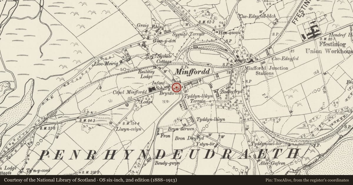
Slide toward Today to fade the historical sheet and see the modern map underneath.
David Rumsey Map Collection, Stanford LibrariesDavid Rumsey Map Collection, Stanford LibrariesDavid Rumsey Map Collection, Stanford LibrariesLlyfrgell Genedlaethol Cymru – The National Library of WalesDavid Rumsey Map Collection, Stanford Libraries
5 historical maps cover this location, the earliest the 1795 map "To Sir Watkin Williams-Wynn Bart ... the map of the six counties of North Wales is most humbly inscribed by his obedient humble servant" (Llyfrgell Genedlaethol Cymru – The National Library of Wales).
Historical maps covering this location
- 1795 · To Sir Watkin Williams-Wynn Bart ... the map of the six counties of North Wales is most… (Llyfrgell Genedlaethol Cymru – The National Library of Wales)
- 1883 · Watershed map England, Wales 3. (David Rumsey Map Collection, Stanford Libraries)
- 1896 · Sheet 7. Ordnance Survey of England and Wales. (David Rumsey Map Collection, Stanford Libraries)
- 1899 · 119 Snowdon (Hills) (David Rumsey Map Collection, Stanford Libraries)
- 1901 · Sheet 9 and 10. (David Rumsey Map Collection, Stanford Libraries)
Cadw's description
Location
Set back slightly from the main road at its junction with the access road to Portmeirion.
History
Portmeirion was designed and laid out by the celebrated architect Sir Clough Williams-Ellis (1883-1978) following his purchase of the estate, then called Aber Iâ, in 1926. The village evolved over several decades and was still being added to in the 1970s.
Exterior
Pair of entrance piers; of whitened cement blocks in three diminishing stages and with stopped-chamfered edges; on square plinth bases. Each pier is surmounted by a square vase of reconstituted stone with figurative relief decoration to the sides.
Reason for designation
Listed as a pair of C20 entrance piers erected by Sir Clough Williams-Ellis, architect and conservationist, as part of his inspired Portmeirion Village.
Nearby in the register
- Railway Lodge at the Ffestiniog Railway CrossingDomesticunder 1 mi
- Former Lodge to Plas PenrhynDomesticunder 1 mi
- Rhos HouseDomesticunder 1 mi
- Minffordd StationTransportunder 1 mi
Other entries of the same register within about three miles of this one, by straight line.