Cof Cymru: National Historic Assets of Wales · Wales
The Lighthouse
Penrhyndeudraeth, Gwynedd, Wales
A Grade II listed building in Portmeirion, Penrhyndeudraeth, Gwynedd, designated on 23 August 2002.
The record
- Designation
- Listed building, Grade II
- Broad class
- Communications
- Date of designation
- 23 August 2002
- Locality
- Portmeirion
- Community
- Penrhyndeudraeth
- Unitary authority
- Gwynedd
- Country
- Wales
- Coordinates
- 52.90912, -4.10362
- Cadw reference
- 26881
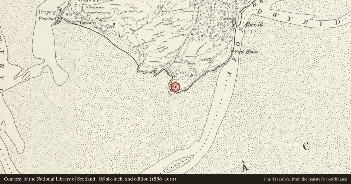
Slide toward Today to fade the historical sheet and see the modern map underneath.
David Rumsey Map Collection, Stanford LibrariesDavid Rumsey Map Collection, Stanford LibrariesDavid Rumsey Map Collection, Stanford LibrariesLlyfrgell Genedlaethol Cymru – The National Library of WalesDavid Rumsey Map Collection, Stanford Libraries
5 historical maps cover this location, the earliest the 1795 map "To Sir Watkin Williams-Wynn Bart ... the map of the six counties of North Wales is most humbly inscribed by his obedient humble servant" (Llyfrgell Genedlaethol Cymru – The National Library of Wales).
Historical maps covering this location
- 1795 · To Sir Watkin Williams-Wynn Bart ... the map of the six counties of North Wales is most… (Llyfrgell Genedlaethol Cymru – The National Library of Wales)
- 1883 · Watershed map England, Wales 3. (David Rumsey Map Collection, Stanford Libraries)
- 1896 · Sheet 7. Ordnance Survey of England and Wales. (David Rumsey Map Collection, Stanford Libraries)
- 1899 · 135 Harlech (Hills) (David Rumsey Map Collection, Stanford Libraries)
- 1901 · Sheet 9 and 10. (David Rumsey Map Collection, Stanford Libraries)
Cadw's description
Location
At Portmeirion's southernmost point, dramatically sited on the coastline.
History
Portmeirion was designed and laid out by the celebrated architect Sir Clough Williams-Ellis (1883-1978) following his purchase of the estate, then called Aber Iâ, in 1926. The village evolved over several decades and was still being added to in the 1970s.
The Lighthouse was erected by 1963.
Exterior
The Lighthouse consists of a small cylindrical tower of sheet metal with surmounting upturned pig boiler forming a dome. In between are latticed lights with dividing volutes; surmounting the whole is an ornate metal finial. This tower section stands on a wider circular rubble platform with railed balustrade and arched entrance.
Reason for designation
Listed as one of a number of buildings and structures erected by the eminent architect and conservationist Sir Clough Williams-Ellis for his visionary Portmeirion villiage.
Group value with other listed items at Portmeirion.
Nearby in the register
- White HorsesDomesticunder 1 mi
- Statue of NelsonCommemorativeunder 1 mi
- Observatory TowerMaritimeunder 1 mi
- Dovecote Above Portmeirion HotelGardens, Parks and Urban Spacesunder 1 mi
Other entries of the same register within about three miles of this one, by straight line.