Cof Cymru: National Historic Assets of Wales · Wales
Agricultural range at Bodwigiad
Hirwaun, Rhondda Cynon Taff, Wales
A Grade II listed building in Pont Pren, Hirwaun, Rhondda Cynon Taff, designated on 6 August 2002.
The record
- Designation
- Listed building, Grade II
- Broad class
- Domestic
- Date of designation
- 6 August 2002
- Locality
- Pont Pren
- Community
- Hirwaun
- Unitary authority
- Rhondda Cynon Taff
- Country
- Wales
- Coordinates
- 51.76497, -3.51767
- Cadw reference
- 26833
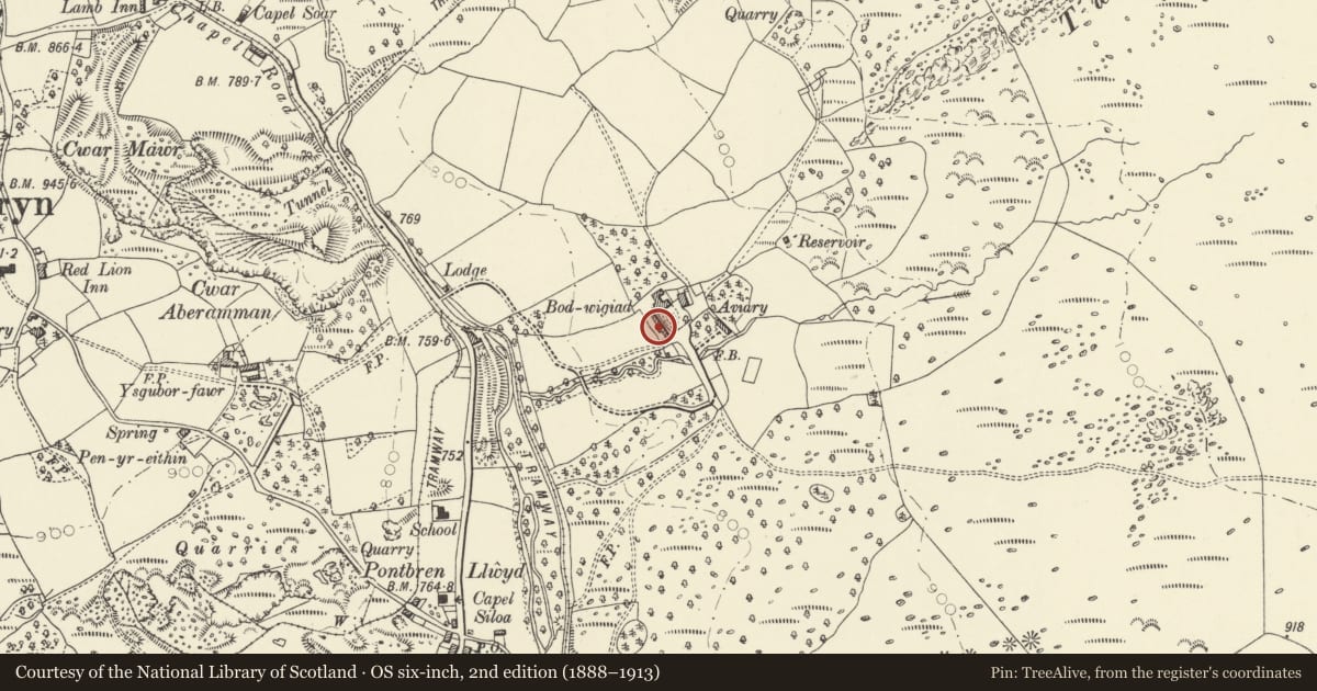
Slide toward Today to fade the historical sheet and see the modern map underneath.
David Rumsey Map Collection, Stanford LibrariesDavid Rumsey Map Collection, Stanford LibrariesDavid Rumsey Map Collection, Stanford LibrariesDavid Rumsey Map Collection, Stanford LibrariesDavid Rumsey Map Collection, Stanford Libraries
5 historical maps cover this location, the earliest the 1636 map "Cornubia : Devonia, Somersetus, Dorcestria, Wiltonia, Glocestria ..." (David Rumsey Map Collection, Stanford Libraries).
Historical maps covering this location
- 1636 · Cornubia : Devonia, Somersetus, Dorcestria, Wiltonia, Glocestria ... (David Rumsey Map Collection, Stanford Libraries)
- 1830 · V.3:11-15:XV. Britisches Reich. A. Kon: England. b. Frstenthum Wales: Shire: 37-40 (David Rumsey Map Collection, Stanford Libraries)
- 1856 · 42. Brecon. (David Rumsey Map Collection, Stanford Libraries)
- 1898 · 231 Merthyr Tydfil (Hills) (David Rumsey Map Collection, Stanford Libraries)
- 1898 · 231 Merthyr Tydfil (Outline) (David Rumsey Map Collection, Stanford Libraries)
Cadw's description
Location
On the S side of the house.
History
Built in the early C19 and shown on the 1840 Tithe map. Bodwigiad is a house of C17 origin, enlarged in the early C19 and again before 1862 as a small country house.
Exterior
A long single-storey range of rubble stone, painted cream on the N side facing the house, and partly retaining a C19 slate roof but replaced with corrugated metal sheets in the centre. On the N side are 3 doorways unevenly grouped to the R side of the elevation, the centre of which has stone voussoirs, the outer wooden lintels, with boarded doors. A loft opening is to the L of centre. At the L end the elevation is recessed and has external stone steps beneath the roof, leading to a loft doorway. The S side has a lean-to R of centre. Immediately to its R are full-height double doors with a doorway under a stone segmental head further R. A similar doorway is to the L of the lean-to, while further L is a doorway under a brick segmental head.
Reason for designation
Listed for group value with the house.
Nearby in the register
- BodwigiadDomesticunder 1 mi
- Siloa Baptist ChurchReligious, Ritual and Funeraryunder 1 mi
- Milestone in boundary wall of Lamb HotelTransportunder 1 mi
- The RectoryDomesticunder 1 mi
Other entries of the same register within about three miles of this one, by straight line.