Cof Cymru: National Historic Assets of Wales · Wales
Cwm Llan
Cwm Gwaun, Pembrokeshire, Wales
A Grade II listed building in Llanychlwydog, Fishguard, Cwm Gwaun, Pembrokeshire, designated on 30 July 2002.
The record
- Designation
- Listed building, Grade II
- Broad class
- Domestic
- Date of designation
- 30 July 2002
- Locality
- Llanychlwydog
- Town
- Fishguard
- Community
- Cwm Gwaun
- Unitary authority
- Pembrokeshire
- Country
- Wales
- Coordinates
- 51.97350, -4.89762
- Cadw reference
- 26815
Slide toward Today to fade the historical sheet and see the modern map underneath.
David Rumsey Map Collection, Stanford LibrariesDavid Rumsey Map Collection, Stanford LibrariesDavid Rumsey Map Collection, Stanford LibrariesDavid Rumsey Map Collection, Stanford LibrariesDavid Rumsey Map Collection, Stanford Libraries
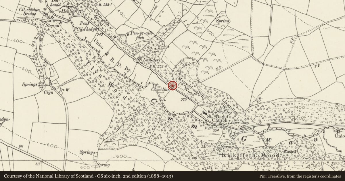
5 historical maps cover this location, the earliest the 1608 map "(13) Cambriae Typus." (David Rumsey Map Collection, Stanford Libraries).
Historical maps covering this location
- 1608 · (13) Cambriae Typus. (David Rumsey Map Collection, Stanford Libraries)
- 1891 · Sheet 10. Ordnance Survey of England and Wales. . (David Rumsey Map Collection, Stanford Libraries)
- 1898 · 210 Cardigan (Hills) (David Rumsey Map Collection, Stanford Libraries)
- 1898 · 210 Cardigan (Outline) (David Rumsey Map Collection, Stanford Libraries)
- 1901 · Sheet 13. (David Rumsey Map Collection, Stanford Libraries)
Cadw's description
Location
Situated on the N side of the road some 650m SE of Pont Cilrhedyn.
History
Lofted cottage, probably of the earlier C19.
Exterior
Cottage, painted render and slate close-eaved roof with large whitewashed rendered end stacks, larger to right. Double-fronted, offset to left, with 2 small 4-pane casements, one each side of stable door. Two C20 rooflights in front roof slope. Right end has window inserted in fireplace back. Rear C20 flat-roofed addition.
Attached to left end is former garage now converted to room with double doors now half-glazed.
Interior
Not inspected.
Reason for designation
Included as a well-preserved example of the small lofted cottages typical of the region.
Nearby in the register
- Five Pillar-Crosses in ChurchyardCross-marked stoneunder 1 mi
- LlethrDomesticunder 1 mi
- Bont CilrhedynDomesticunder 1 mi
- Iron Age Enclosure in Kilkiffeth WoodEnclosureunder 1 mi
Other entries of the same register within about three miles of this one, by straight line.