Cof Cymru: National Historic Assets of Wales · Wales
West range of outbuildings at Pontcowin
Newchurch and Merthyr, Carmarthenshire, Wales
A Grade II listed building in Bancyfelin, Carmarthen, Newchurch and Merthyr, Carmarthenshire, designated on 8 July 2002.
The record
- Designation
- Listed building, Grade II
- Broad class
- Agriculture and Subsistence
- Date of designation
- 8 July 2002
- Locality
- Bancyfelin
- Town
- Carmarthen
- Community
- Newchurch and Merthyr
- Unitary authority
- Carmarthenshire
- Country
- Wales
- Coordinates
- 51.84506, -4.42297
- Cadw reference
- 26744
Slide toward Today to fade the historical sheet and see the modern map underneath.
David Rumsey Map Collection, Stanford LibrariesDavid Rumsey Map Collection, Stanford LibrariesDavid Rumsey Map Collection, Stanford LibrariesDavid Rumsey Map Collection, Stanford LibrariesDavid Rumsey Map Collection, Stanford Libraries
5 historical maps cover this location, the earliest the 1636 map "Cornubia : Devonia, Somersetus, Dorcestria, Wiltonia, Glocestria ..." (David Rumsey Map Collection, Stanford Libraries).
Historical maps covering this location
- 1636 · Cornubia : Devonia, Somersetus, Dorcestria, Wiltonia, Glocestria ... (David Rumsey Map Collection, Stanford Libraries)
- 1860 · 41. Caermathen. (David Rumsey Map Collection, Stanford Libraries)
- 1891 · Sheet 10. Ordnance Survey of England and Wales. . (David Rumsey Map Collection, Stanford Libraries)
- 1898 · 229 Carmarthen (Hills) (David Rumsey Map Collection, Stanford Libraries)
- 1901 · Sheet 14. (David Rumsey Map Collection, Stanford Libraries)
Cadw's description
Location
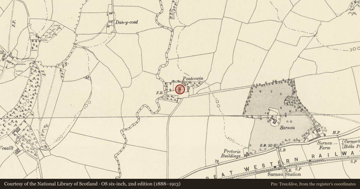
Situated SW of the house at Pontcowin, at the end of a track some 450m N of the former A40 and approximately 1 km NE of Bancyfelin.
History
Range of outbuildings, probably mid C19, now cow-house.
Exterior
Range of outbuildings, whitewashed rubble stone with slate close-eaved roof. Various openings with timber lintels, 14 in all. From left: a door, a tall opening to eaves, 2 small windows one blocked, a broad full-height entry, another blocked small window, a small-paned long casement-pair window under eaves, a door, another small window part-blocked, another long casement-pair under eaves, a small square window close to a mid C20 metal window, and finally another door.
Reason for designation
Included as a C19 farmyard range, part of the farm group at Pontcowin.
Nearby in the register
- PontcowinDomesticunder 1 mi
- East range of outbuildings at PontcowinAgriculture and Subsistenceunder 1 mi
- Sarnau MansionDomesticunder 1 mi
- Castell-y-GaerEnclosureunder 1 mi
Other entries of the same register within about three miles of this one, by straight line.