Cof Cymru: National Historic Assets of Wales · Wales
14 Castle Square
Caernarfon, Gwynedd, Wales
A Grade II listed building in Caernarfon, Gwynedd, designated on 3 May 2002.
The record
- Designation
- Listed building, Grade II
- Broad class
- Commercial
- Date of designation
- 3 May 2002
- Town
- Caernarfon
- Community
- Caernarfon
- Unitary authority
- Gwynedd
- Country
- Wales
- Coordinates
- 53.13980, -4.27465
- Cadw reference
- 26525
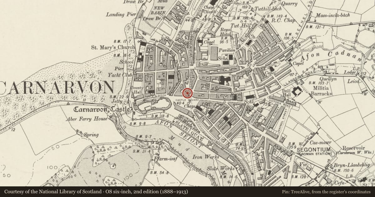
Slide toward Today to fade the historical sheet and see the modern map underneath.
David Rumsey Map Collection, Stanford LibrariesDavid Rumsey Map Collection, Stanford LibrariesDavid Rumsey Map Collection, Stanford LibrariesDavid Rumsey Map Collection, Stanford LibrariesDavid Rumsey Map Collection, Stanford Libraries
5 historical maps cover this location, the earliest the 1883 map "Watershed map England, Wales 3." (David Rumsey Map Collection, Stanford Libraries).
Historical maps covering this location
- 1883 · Watershed map England, Wales 3. (David Rumsey Map Collection, Stanford Libraries)
- 1896 · Sheet 7. Ordnance Survey of England and Wales. (David Rumsey Map Collection, Stanford Libraries)
- 1899 · 105 Carnarvon (Hills) (David Rumsey Map Collection, Stanford Libraries)
- 1901 · Sheet 9 and 10. (David Rumsey Map Collection, Stanford Libraries)
- 1919 · Sheet 41. Anglesey. (David Rumsey Map Collection, Stanford Libraries)
Cadw's description
Location
In a prominently sited row of frontages on Castle Square, on the corner of the junction with Bridge Street.
History
A commercial premises built in the third quarter of the C19 and first shown on the 1888 Ordnance Survey. Occupied by a printer and bookseller in 1895.
Reason for designation
Listed as an ambitious late C19 commercial building in the classical style prevalent in Victorian Caernarfon, retaining original character and detail on a prominent corner site, representing the late C19 growth of the commercial district encompassing Castle Square, Bridge Street and Bangor Street.
Nearby in the register
- 13 Castle SquareCommercialunder 1 mi
- 12 Castle SquareCommercialunder 1 mi
- Macsen RestaurantCommercialunder 1 mi
- The Morgan Lloyd Public HouseCommercialunder 1 mi
Other entries of the same register within about three miles of this one, by straight line.