Cof Cymru: National Historic Assets of Wales · Wales
Premises occupied by Five Arches Gifts
Tenby, Pembrokeshire, Wales
A Grade II listed building in Tenby, Pembrokeshire, designated on 28 March 2002.
The record
- Designation
- Listed building, Grade II
- Broad class
- Domestic
- Date of designation
- 28 March 2002
- Town
- Tenby
- Community
- Tenby
- Unitary authority
- Pembrokeshire
- Country
- Wales
- Coordinates
- 51.67110, -4.70044
- Cadw reference
- 26413
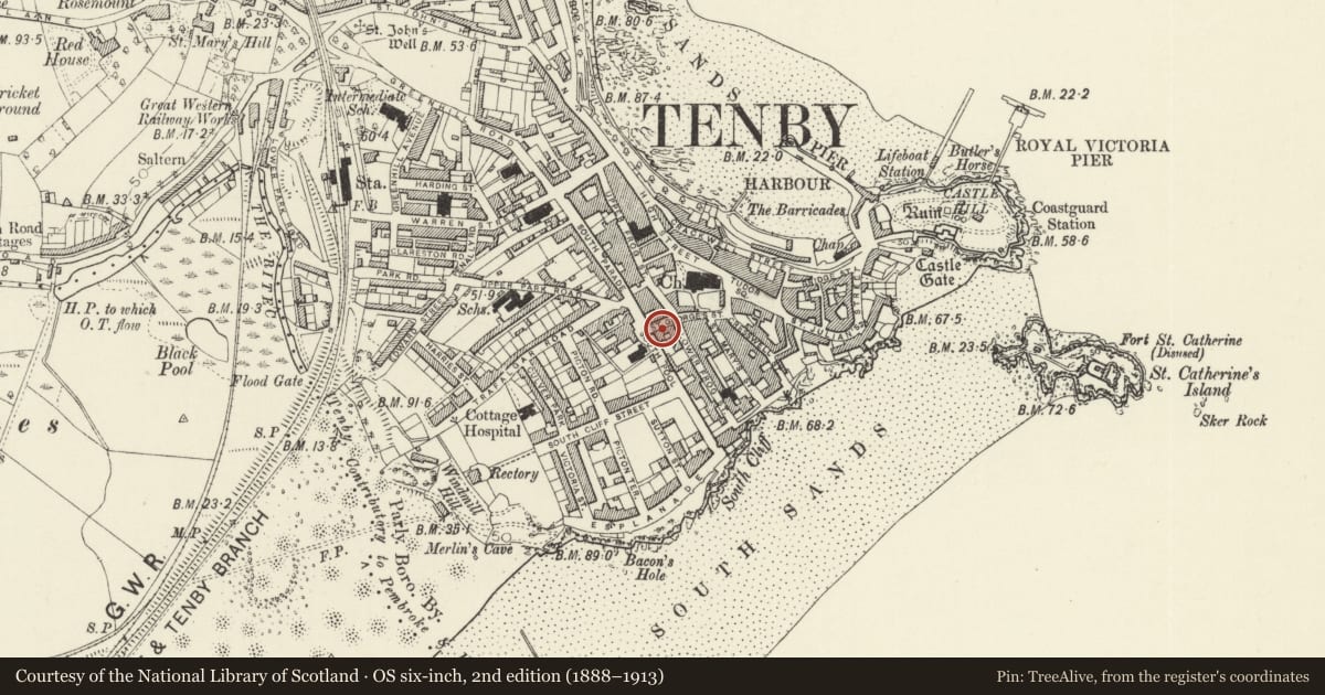
Slide toward Today to fade the historical sheet and see the modern map underneath.
David Rumsey Map Collection, Stanford LibrariesDavid Rumsey Map Collection, Stanford LibrariesDavid Rumsey Map Collection, Stanford LibrariesDavid Rumsey Map Collection, Stanford LibrariesDavid Rumsey Map Collection, Stanford Libraries
5 historical maps cover this location, the earliest the 1636 map "Cornubia : Devonia, Somersetus, Dorcestria, Wiltonia, Glocestria ..." (David Rumsey Map Collection, Stanford Libraries).
Historical maps covering this location
- 1636 · Cornubia : Devonia, Somersetus, Dorcestria, Wiltonia, Glocestria ... (David Rumsey Map Collection, Stanford Libraries)
- 1865 · England and Wales. England No. 6. (David Rumsey Map Collection, Stanford Libraries)
- 1891 · Sheet 10. Ordnance Survey of England and Wales. . (David Rumsey Map Collection, Stanford Libraries)
- 1898 · 245 Pembroke (Hills) (David Rumsey Map Collection, Stanford Libraries)
- 1901 · Sheet 13. (David Rumsey Map Collection, Stanford Libraries)
Cadw's description
Location
Situated on the S side of St George's Street between the junction with Lower Frog Street and the town wall.
History
Shop premises, c 1860, of one 2-storey, 4-bay build with the Bush Inn adjoining. Not shown in engraving of 1856, but shown in guide-book of 1863. Old photographs show 12-pane sashes upstairs, 4-pane sash in right bay of ground floor, door in middle bay, flanked by pilasters and small shopfront to left.
Exterior
House and shop, white painted stucco with slate close-eaved roof, 2 storeys, 3 bays (of matching 4-bay range with the Bush Inn). First floor plate glass sashes over ground floor shop with continuous entablature and cornice over. Thin pilaster at extreme left and 2 blocks in frieze indicating sites of 2 other pilasters, removed for shop window. A fourth remains on the Bush Inn, to right. Four-panel door with overlight to left and shop with C20 glazing each side of recessed door, narrow pane to left, wide to right.
Reason for designation
Included as part of a single range with the Bush Inn, of group value with the medieval Five Arches beyond.
Nearby in the register
- The Bush InnCommercialunder 1 mi
- Arch HouseNo class recordedunder 1 mi
- Premises occupied by Ye Olde Gifte ShoppeCommercialunder 1 mi
- Tenby Town WallsDefenceunder 1 mi
Other entries of the same register within about three miles of this one, by straight line.