Cof Cymru: National Historic Assets of Wales · Wales
Walls and railings to Deer Park Baptist Church
Tenby, Pembrokeshire, Wales
A Grade II listed building in Tenby, Pembrokeshire, designated on 10 September 1992.
The record
- Designation
- Listed building, Grade II
- Broad class
- Gardens, Parks and Urban Spaces
- Date of designation
- 10 September 1992
- Town
- Tenby
- Community
- Tenby
- Unitary authority
- Pembrokeshire
- Country
- Wales
- Coordinates
- 51.67319, -4.70321
- Cadw reference
- 26335
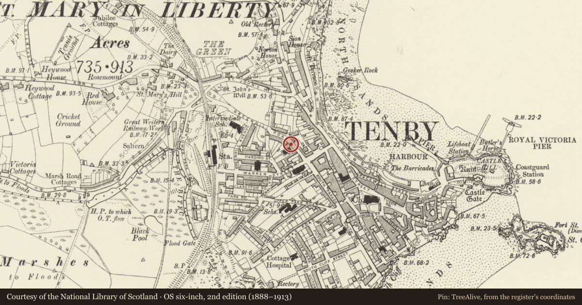
Slide toward Today to fade the historical sheet and see the modern map underneath.
David Rumsey Map Collection, Stanford LibrariesDavid Rumsey Map Collection, Stanford LibrariesDavid Rumsey Map Collection, Stanford LibrariesDavid Rumsey Map Collection, Stanford LibrariesDavid Rumsey Map Collection, Stanford Libraries
5 historical maps cover this location, the earliest the 1636 map "Cornubia : Devonia, Somersetus, Dorcestria, Wiltonia, Glocestria ..." (David Rumsey Map Collection, Stanford Libraries).
Historical maps covering this location
- 1636 · Cornubia : Devonia, Somersetus, Dorcestria, Wiltonia, Glocestria ... (David Rumsey Map Collection, Stanford Libraries)
- 1865 · England and Wales. England No. 6. (David Rumsey Map Collection, Stanford Libraries)
- 1891 · Sheet 10. Ordnance Survey of England and Wales. . (David Rumsey Map Collection, Stanford Libraries)
- 1898 · 245 Pembroke (Hills) (David Rumsey Map Collection, Stanford Libraries)
- 1901 · Sheet 13. (David Rumsey Map Collection, Stanford Libraries)
Cadw's description
Location
Situated on road front of broad forecourt to Baptist church.
History
Forecourt walls and railings to Baptist church of 1884-5, by George Morgan of Carmarthen.
Exterior
Forecourt iron railings on low stone walls. Limestone walls with rock-faced coping carrying Gothic iron railings with design of squares with encircled quatrefoil and zigzag bottom rail. Stanchions between each panel with Gothic flower finials. Stone angle piers with ashlar quoins and heavy cross-gabled ashlar caps with incised crosses in roundels. Matching centre iron gates, between similar piers with iron lamps. Railings return down sides of forecourt.
Reason for designation
Included as attractive later C19 walls and railings, of group value with the Baptist church and Walmer House.
Nearby in the register
- Deer Park Baptist ChurchReligious, Ritual and Funeraryunder 1 mi
- Walmer House and front railings.Domesticunder 1 mi
- No 8 Deer Park (Flint House) and railingsDomesticunder 1 mi
- Clifton Rock and garden wall along roadside.Domesticunder 1 mi
Other entries of the same register within about three miles of this one, by straight line.