Cof Cymru: National Historic Assets of Wales · Wales
Isfryn
Halkyn, Flintshire, Wales
A Grade II listed building in Catch, Holywell, Halkyn, Flintshire, designated on 31 January 2002.
The record
- Designation
- Listed building, Grade II
- Broad class
- Domestic
- Date of designation
- 31 January 2002
- Locality
- Catch
- Town
- Holywell
- Community
- Halkyn
- Unitary authority
- Flintshire
- Country
- Wales
- Coordinates
- 53.22970, -3.18959
- Cadw reference
- 26218
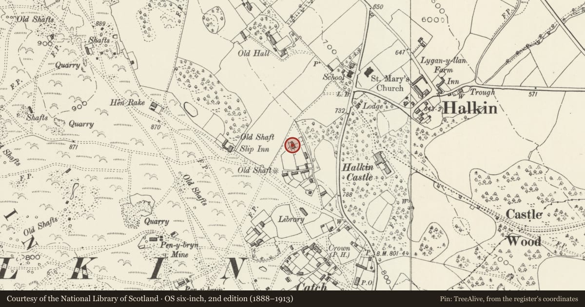
Slide toward Today to fade the historical sheet and see the modern map underneath.
David Rumsey Map Collection, Stanford LibrariesDavid Rumsey Map Collection, Stanford LibrariesDavid Rumsey Map Collection, Stanford LibrariesDavid Rumsey Map Collection, Stanford LibrariesLlyfrgell Genedlaethol Cymru – The National Library of Wales
5 historical maps cover this location, the earliest the 1795 map "To Sir Watkin Williams-Wynn Bart ... the map of the six counties of North Wales is most humbly inscribed by his obedient humble servant" (Llyfrgell Genedlaethol Cymru – The National Library of Wales).
Historical maps covering this location
- 1795 · To Sir Watkin Williams-Wynn Bart ... the map of the six counties of North Wales is most… (Llyfrgell Genedlaethol Cymru – The National Library of Wales)
- 1883 · Watershed map England, Wales 3. (David Rumsey Map Collection, Stanford Libraries)
- 1898 · 108 Flint (Hills) (David Rumsey Map Collection, Stanford Libraries)
- 1898 · 108 Flint (Outline) (David Rumsey Map Collection, Stanford Libraries)
- 1901 · Sheet 9 and 10. (David Rumsey Map Collection, Stanford Libraries)
Cadw's description
Location
At the rear of Tir y Coed.
History
An early C19 house, shown on the 1839 Tithe map, built as an encroachment on the common, perhaps for a mine captain associated with lead mines in the area.
Interior
Not inspected.
Reason for designation
Listed as a well-preserved small late Georgian house, now subdivided, and for its association with the industrial history of the district.
Nearby in the register
- Tir y CoedDomesticunder 1 mi
- Halkyn Library HallCivilunder 1 mi
- Gate Piers and attached Walls at entrance to Halkyn CastleGardens, Parks and Urban Spacesunder 1 mi
- Top LodgeDomesticunder 1 mi
Other entries of the same register within about three miles of this one, by straight line.