Cof Cymru: National Historic Assets of Wales · Wales
Boiler Stack at Taylor's Shaft
Halkyn, Flintshire, Wales
A Grade II listed building in Hendre, Holywell, Halkyn, Flintshire, designated on 31 January 2002.
The record
- Designation
- Listed building, Grade II
- Broad class
- Industrial
- Date of designation
- 31 January 2002
- Locality
- Hendre
- Town
- Holywell
- Community
- Halkyn
- Unitary authority
- Flintshire
- Country
- Wales
- Coordinates
- 53.20119, -3.19247
- Cadw reference
- 26203
Slide toward Today to fade the historical sheet and see the modern map underneath.
David Rumsey Map Collection, Stanford LibrariesDavid Rumsey Map Collection, Stanford LibrariesDavid Rumsey Map Collection, Stanford LibrariesDavid Rumsey Map Collection, Stanford LibrariesLlyfrgell Genedlaethol Cymru – The National Library of Wales
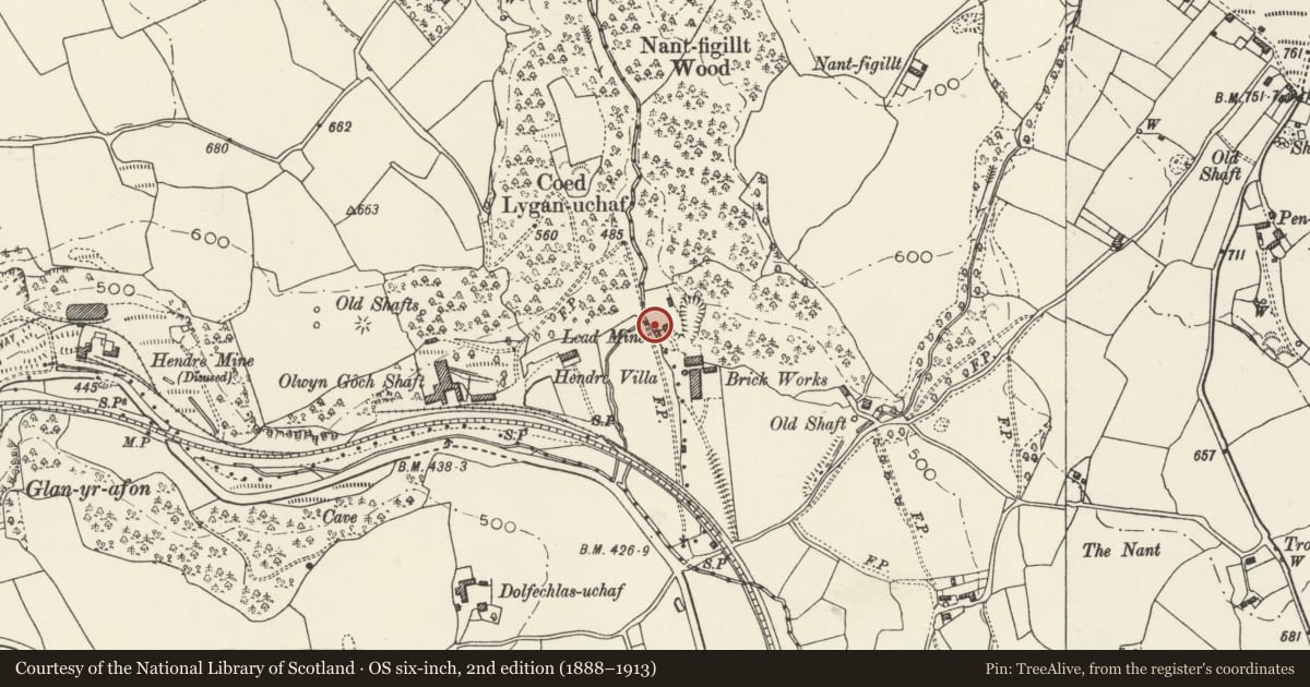
5 historical maps cover this location, the earliest the 1795 map "To Sir Watkin Williams-Wynn Bart ... the map of the six counties of North Wales is most humbly inscribed by his obedient humble servant" (Llyfrgell Genedlaethol Cymru – The National Library of Wales).
Historical maps covering this location
- 1795 · To Sir Watkin Williams-Wynn Bart ... the map of the six counties of North Wales is most… (Llyfrgell Genedlaethol Cymru – The National Library of Wales)
- 1883 · Watershed map England, Wales 3. (David Rumsey Map Collection, Stanford Libraries)
- 1898 · 108 Flint (Hills) (David Rumsey Map Collection, Stanford Libraries)
- 1898 · 108 Flint (Outline) (David Rumsey Map Collection, Stanford Libraries)
- 1901 · Sheet 9 and 10. (David Rumsey Map Collection, Stanford Libraries)
Cadw's description
Location
On the S side of the engine house.
History
Built in 1896 (date on building). The North Hendre Lead Mine worked until 1938, and was subsequently mined for high-quality limestone for glass for Pilkingtons of St Helens until 1969.
Exterior
A tall, tapering square brick stack, part obscured by vegetation, with projecting collar beneath the cap. The S side retains a brick flue from a former bank of boilers, while the W side has a blocked round-headed opening. On the N side is a dated stone tablet.
Reason for designation
Listed in association with the engine house and ore dressing shed as a rare survival of a once important local industry.
Nearby in the register
- Taylor's Shaft Engine HouseIndustrialunder 1 mi
- Ore Dressing ShedIndustrialunder 1 mi
- Brick Kiln and StackIndustrialunder 1 mi
- Lygan UchafDomesticunder 1 mi
Other entries of the same register within about three miles of this one, by straight line.