Cof Cymru: National Historic Assets of Wales · Wales
Hooded tomb in the churchyard of Saints Mael and Sulien
Cwm, Denbighshire, Wales
A Grade II* listed building in Cwm Village, Cwm, Denbighshire, designated on 11 January 2002.
The record
- Designation
- Listed building, Grade II*
- Broad class
- Religious, Ritual and Funerary
- Date of designation
- 11 January 2002
- Locality
- Cwm Village
- Community
- Cwm
- Unitary authority
- Denbighshire
- Country
- Wales
- Coordinates
- 53.28588, -3.40194
- Cadw reference
- 26087
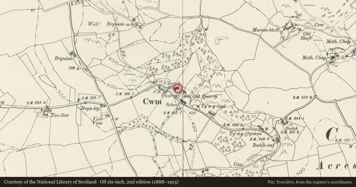
Slide toward Today to fade the historical sheet and see the modern map underneath.
David Rumsey Map Collection, Stanford LibrariesDavid Rumsey Map Collection, Stanford LibrariesDavid Rumsey Map Collection, Stanford LibrariesLlyfrgell Genedlaethol Cymru – The National Library of WalesDavid Rumsey Map Collection, Stanford Libraries
5 historical maps cover this location, the earliest the 1795 map "To Sir Watkin Williams-Wynn Bart ... the map of the six counties of North Wales is most humbly inscribed by his obedient humble servant" (Llyfrgell Genedlaethol Cymru – The National Library of Wales).
Historical maps covering this location
- 1795 · To Sir Watkin Williams-Wynn Bart ... the map of the six counties of North Wales is most… (Llyfrgell Genedlaethol Cymru – The National Library of Wales)
- 1830 · V.3:11-15:XV. Britisches Reich. A. Kon: England. b. Frstenthum Wales: Shire: 37-40 (David Rumsey Map Collection, Stanford Libraries)
- 1883 · Watershed map England, Wales 3. (David Rumsey Map Collection, Stanford Libraries)
- 1898 · 95 Rhyl (Hills) (David Rumsey Map Collection, Stanford Libraries)
- 1901 · Sheet 9 and 10. (David Rumsey Map Collection, Stanford Libraries)
Cadw's description
Location
Adjacent to the south wall of the St Mael & St Sulien's church.
History
The inscription on the ledger records that this is the tomb of Grace Griffith, of ... in the County of Denbigh, d. 1642. The 'hooded' form of the tomb (surmounted by an arch) is a local traditional type, other local examples being found in the graveyards of Dyserth and Trelawnyd. Lewis in 1833 refers to this 'ancient tombstone, on which is a bow sculptured in stone'.
Another inscription faces the church wall so that it cannot easily be read; this suggests the tomb is no longer in situ.
Exterior
This tomb has been described by Hubbard as the most elaborate of the Welsh hooded tombs. The base consists of one by two arches, with fluted pilasters at the corners and between the side arches. Above this is a frieze carved in relief with formalised foliage, and a ledger moulded at the edge and shaped to follow the projections of the pilasters. Above is a hood in the form of a freestanding arch, with carved rolls and trefoil headed sunk panels on the exterior; on its inside face is an angel at one side and a skull between two heraldic shields at the other.
On the ledger is the inscription 'Loe my sad pledge one last adieu is here recorded to thy view. Reader behold my losse so deare. Spare thy censure, shed a teare'.
Reason for designation
Listed at grade II* as a particularly fine example of this unusual type of monument.
Nearby in the register
- Church of Saints Mael and SulienReligious, Ritual and Funeraryunder 1 mi
- Ty CerrigDomesticunder 1 mi
- Stables at Ty CerrigDomesticunder 1 mi
- Pentre CwmDomesticunder 1 mi
Other entries of the same register within about three miles of this one, by straight line.