Cof Cymru: National Historic Assets of Wales · Wales
25 Quay Street
Fishguard and Goodwick, Pembrokeshire, Wales
A Grade II listed building in Lower Town, Fishguard, Fishguard and Goodwick, Pembrokeshire, designated on 7 January 2002.
The record
- Designation
- Listed building, Grade II
- Broad class
- Domestic
- Date of designation
- 7 January 2002
- Locality
- Lower Town
- Town
- Fishguard
- Community
- Fishguard and Goodwick
- Unitary authority
- Pembrokeshire
- Country
- Wales
- Coordinates
- 51.99704, -4.96920
- Cadw reference
- 26062
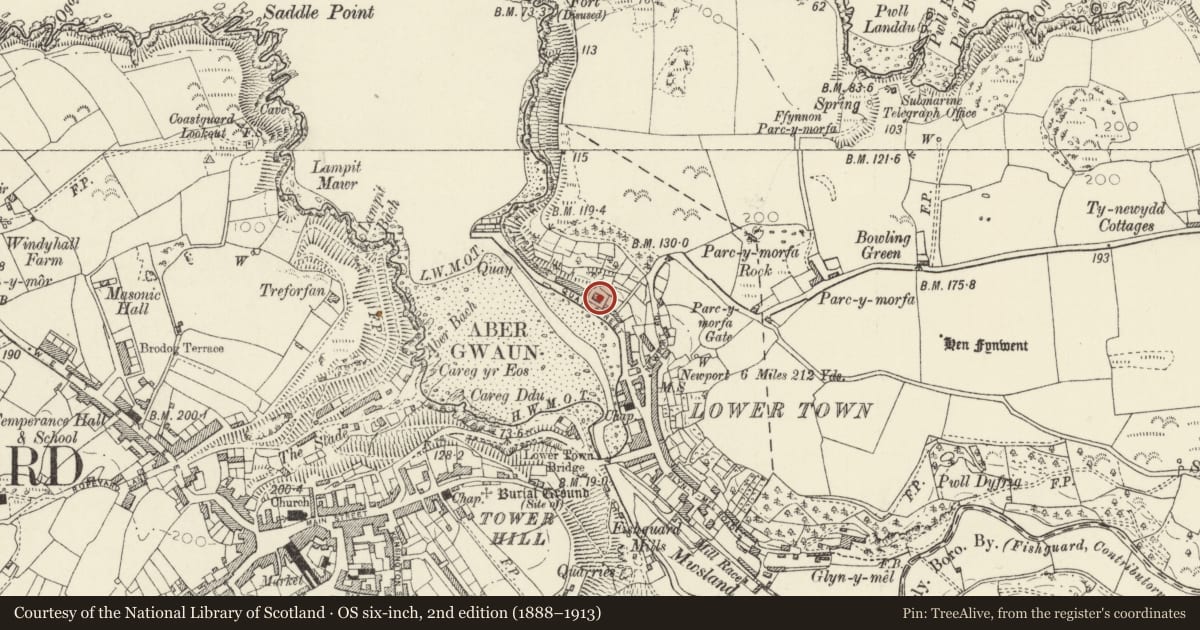
Slide toward Today to fade the historical sheet and see the modern map underneath.
David Rumsey Map Collection, Stanford LibrariesDavid Rumsey Map Collection, Stanford LibrariesDavid Rumsey Map Collection, Stanford LibrariesDavid Rumsey Map Collection, Stanford LibrariesDavid Rumsey Map Collection, Stanford Libraries
5 historical maps cover this location, the earliest the 1608 map "(13) Cambriae Typus." (David Rumsey Map Collection, Stanford Libraries).
Historical maps covering this location
- 1608 · (13) Cambriae Typus. (David Rumsey Map Collection, Stanford Libraries)
- 1891 · Sheet 10. Ordnance Survey of England and Wales. . (David Rumsey Map Collection, Stanford Libraries)
- 1898 · 210 Cardigan (Hills) (David Rumsey Map Collection, Stanford Libraries)
- 1898 · 210 Cardigan (Outline) (David Rumsey Map Collection, Stanford Libraries)
- 1901 · Sheet 13. (David Rumsey Map Collection, Stanford Libraries)
Cadw's description
Location
Situated in own grounds some 120m along the quay.
History
Pair of estate cottages of c1900, possibly built for the Glynymel estate. There were buildings on the site on the 1844 tithe map. The houses are not shown in postcard of c1900, but are in one said to date from 1897.
Reason for designation
Included as well-preserved late C19 to early C20 estate cottages, rare in the region, and prominent on the quayside.
Nearby in the register
- New VillaDomesticunder 1 mi
- 21 Quay Street, incl decorative cobbled forecourt.Domesticunder 1 mi
- 19 Quay StreetDomesticunder 1 mi
- 33 Quay StreetDomesticunder 1 mi
Other entries of the same register within about three miles of this one, by straight line.