Cof Cymru: National Historic Assets of Wales · Wales
Y Siop Fach
Bala, Gwynedd, Wales
A Grade II listed building in Bala, Gwynedd, designated on 13 December 2001.
The record
- Designation
- Listed building, Grade II
- Broad class
- Commercial
- Date of designation
- 13 December 2001
- Community
- Bala
- Unitary authority
- Gwynedd
- Country
- Wales
- Coordinates
- 52.91015, -3.59836
- Cadw reference
- 26008
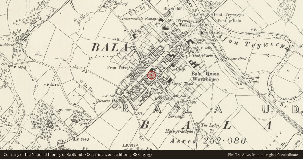
Slide toward Today to fade the historical sheet and see the modern map underneath.
David Rumsey Map Collection, Stanford LibrariesDavid Rumsey Map Collection, Stanford LibrariesLlyfrgell Genedlaethol Cymru – The National Library of WalesDavid Rumsey Map Collection, Stanford LibrariesDavid Rumsey Map Collection, Stanford Libraries
5 historical maps cover this location, the earliest the 1795 map "To Sir Watkin Williams-Wynn Bart ... the map of the six counties of North Wales is most humbly inscribed by his obedient humble servant" (Llyfrgell Genedlaethol Cymru – The National Library of Wales).
Historical maps covering this location
- 1795 · To Sir Watkin Williams-Wynn Bart ... the map of the six counties of North Wales is most… (Llyfrgell Genedlaethol Cymru – The National Library of Wales)
- 1830 · V.3:11-15:XV. Britisches Reich. A. Kon: England. b. Frstenthum Wales: Shire: 37-40 (David Rumsey Map Collection, Stanford Libraries)
- 1883 · Watershed map England, Wales 3. (David Rumsey Map Collection, Stanford Libraries)
- 1899 · 136 Bala (Hills) (David Rumsey Map Collection, Stanford Libraries)
- 1901 · Sheet 9 and 10. (David Rumsey Map Collection, Stanford Libraries)
Cadw's description
Location
On the street-line.
History
Early C19 house and shop retaining its original unhorned sashes to all floors. The ground floor arrangement, with large sashes flanking a central shop entrance, and further entrance to the R, giving access to the accommodation above, appears to be essentially unaltered.
Exterior
Three-storey late Georgian house and shop. Of local rubble construction with slate roof and end chimneys with plain cornicing. The ground floor openings are not aligned with the upper floor windows. Central entrance with small-pane glazed, modern door and original 4-pane, narrow rectangular overlight. Large flanking 16-pane sash windows, with 12-pane sashes to the first floor, and 9-pane sashes to the second, the latter under the eaves; projecting stone sills and rough-dressed stone lintels throughout.
Interior
The interior was not inspected at the time of survey.
Reason for designation
Listed as an early C19 house and shop retaining exceptionally good original character; a rare survival of its type.
Group value with other listed items in Tegid Street.
Nearby in the register
- H RowlandsCommercialunder 1 mi
- E.J. Theodore, IronmongerCommercialunder 1 mi
- China Treasure TakeawayCommercialunder 1 mi
- Siop Bapur NewyddCommercialunder 1 mi
Other entries of the same register within about three miles of this one, by straight line.