Cof Cymru: National Historic Assets of Wales · Wales
Row of outhouses behind Nos 1-4 Piccadilly Square
Llanboidy, Carmarthenshire, Wales
A Grade II listed building in Llanboidy, Whitland, Carmarthenshire, designated on 6 August 2001.
The record
- Designation
- Listed building, Grade II
- Broad class
- Domestic
- Date of designation
- 6 August 2001
- Locality
- Llanboidy
- Town
- Whitland
- Community
- Llanboidy
- Unitary authority
- Carmarthenshire
- Country
- Wales
- Coordinates
- 51.87958, -4.59358
- Cadw reference
- 25646
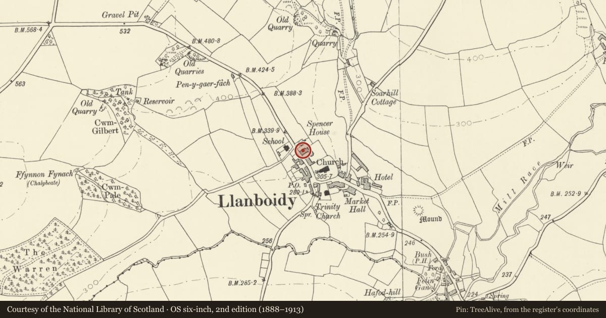
Slide toward Today to fade the historical sheet and see the modern map underneath.
David Rumsey Map Collection, Stanford LibrariesDavid Rumsey Map Collection, Stanford LibrariesDavid Rumsey Map Collection, Stanford LibrariesDavid Rumsey Map Collection, Stanford LibrariesDavid Rumsey Map Collection, Stanford Libraries
5 historical maps cover this location, the earliest the 1608 map "(13) Cambriae Typus." (David Rumsey Map Collection, Stanford Libraries).
Historical maps covering this location
- 1608 · (13) Cambriae Typus. (David Rumsey Map Collection, Stanford Libraries)
- 1636 · Cornubia : Devonia, Somersetus, Dorcestria, Wiltonia, Glocestria ... (David Rumsey Map Collection, Stanford Libraries)
- 1830 · V.3:11-15:XV. Britisches Reich. A. Kon: England. b. Frstenthum Wales: Shire: 37-40 (David Rumsey Map Collection, Stanford Libraries)
- 1891 · Sheet 10. Ordnance Survey of England and Wales. . (David Rumsey Map Collection, Stanford Libraries)
- 1898 · 211 Newcastle Emlyn (Hills) (David Rumsey Map Collection, Stanford Libraries)
Cadw's description
Location
Situated immediately behind Nos 1-4, built into bank.
History
Later C19 row of outhouses across back passage from terraced row.
Exterior
Outhouses, whitewashed rubble stone with lean-to roof. Long single-storey range built into bank with cambered-headed brick-framed openings with keystones arranged 2-4-2. A pair of openings to each property, one broader, one narrower, both with board doors. Slate coping.
Interior
Brick vaults within.
Reason for designation
Included for group value with Nos 1-4, a late Victorian terraced row.
Nearby in the register
- 2 Piccadilly SquareDomesticunder 1 mi
- 3 Piccadilly SquareDomesticunder 1 mi
- 1 Piccadilly SquareDomesticunder 1 mi
- 4 Piccadilly SquareDomesticunder 1 mi
Other entries of the same register within about three miles of this one, by straight line.