Cof Cymru: National Historic Assets of Wales · Wales
5 Moor Street
Chepstow, Monmouthshire, Wales
A Grade II listed building in Chepstow, Monmouthshire, designated on 30 May 1973.
The record
- Designation
- Listed building, Grade II
- Broad class
- Commercial
- Date of designation
- 30 May 1973
- Locality
- Chepstow
- Town
- Chepstow
- Community
- Chepstow
- Unitary authority
- Monmouthshire
- Country
- Wales
- Coordinates
- 51.64012, -2.67790
- Cadw reference
- 2560
Slide toward Today to fade the historical sheet and see the modern map underneath.
David Rumsey Map Collection, Stanford LibrariesDavid Rumsey Map Collection, Stanford LibrariesDavid Rumsey Map Collection, Stanford LibrariesDavid Rumsey Map Collection, Stanford LibrariesDavid Rumsey Map Collection, Stanford Libraries
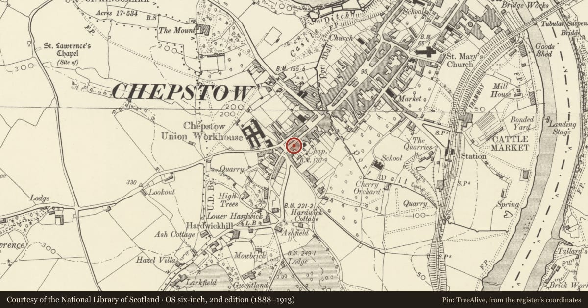
5 historical maps cover this location, the earliest the 1636 map "Cornubia : Devonia, Somersetus, Dorcestria, Wiltonia, Glocestria ..." (David Rumsey Map Collection, Stanford Libraries).
Historical maps covering this location
- 1636 · Cornubia : Devonia, Somersetus, Dorcestria, Wiltonia, Glocestria ... (David Rumsey Map Collection, Stanford Libraries)
- 1830 · V.3:11-15:XV.Britisches Reich. A. Kon: England. a. England ab sich: Shire:15-17, 33 (David Rumsey Map Collection, Stanford Libraries)
- 1895 · Sheet 11. Ordnance Survey of England and Wales. (David Rumsey Map Collection, Stanford Libraries)
- 1897 · 250 Chepstow (Outline) (David Rumsey Map Collection, Stanford Libraries)
- 1905 · 250 Chepstow (Hills) (David Rumsey Map Collection, Stanford Libraries)
Cadw's description
Location
Moor Street has ascending numbers downhill on S side to Town Gate4 and then uphill from number 21 on N side.
History
Early C19.
Exterior
Regency terrace house and shop, attached at each side, eaves-line shared with no.4. Front wall is rendered, rubble stone visible to rear, slate roof with small brick ridge stack. Three storeys. Single window range of sashes with exposed frames , 9-pane to top floor, 12-pane to first floor. Ground floor shopfront with pilasters to ends, replaced panelled door to right with overlight.
Interior
Shop with flat above.
Reason for designation
Listed as part of a row of Regency buildings in Moor Street. Group value with adjacent listed buildings.
Nearby in the register
- 4 Moor StreetCommercialunder 1 mi
- 6 Moor StreetCommercialunder 1 mi
- 3 Moor StreetDomesticunder 1 mi
- 7 Moor StreetCommercialunder 1 mi
Other entries of the same register within about three miles of this one, by straight line.