Cof Cymru: National Historic Assets of Wales · Wales
Tea Caddy Tomb with railings in Churchyard of Church of St. Illtyd
Goetre Fawr, Monmouthshire, Wales
A Grade II listed building in Mamhilad, Pontypool, Goetre Fawr, Monmouthshire, designated on 18 July 2001.
The record
- Designation
- Listed building, Grade II
- Broad class
- Commemorative
- Date of designation
- 18 July 2001
- Locality
- Mamhilad
- Town
- Pontypool
- Community
- Goetre Fawr
- Unitary authority
- Monmouthshire
- Country
- Wales
- Coordinates
- 51.72506, -3.00687
- Cadw reference
- 25561
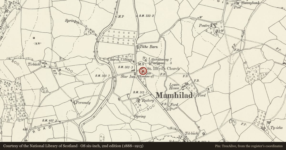
Slide toward Today to fade the historical sheet and see the modern map underneath.
David Rumsey Map Collection, Stanford LibrariesDavid Rumsey Map Collection, Stanford LibrariesDavid Rumsey Map Collection, Stanford LibrariesDavid Rumsey Map Collection, Stanford LibrariesDavid Rumsey Map Collection, Stanford Libraries
5 historical maps cover this location, the earliest the 1636 map "Cornubia : Devonia, Somersetus, Dorcestria, Wiltonia, Glocestria ..." (David Rumsey Map Collection, Stanford Libraries).
Historical maps covering this location
- 1636 · Cornubia : Devonia, Somersetus, Dorcestria, Wiltonia, Glocestria ... (David Rumsey Map Collection, Stanford Libraries)
- 1895 · Sheet 11. Ordnance Survey of England and Wales. (David Rumsey Map Collection, Stanford Libraries)
- 1898 · 232 Abergavenny (Hills) (David Rumsey Map Collection, Stanford Libraries)
- 1898 · 232 Abergavenny (Outline) (David Rumsey Map Collection, Stanford Libraries)
- 1913 · Sheet 102. Newport. (David Rumsey Map Collection, Stanford Libraries)
Cadw's description
Location
About 40m south of the Church of St. Illtyd.
History
An early C19 'tea-caddy' type chest tomb complete with its railings.
Exterior
Dressed and carved stone tomb with wrought and cast iron railings. A square stone chest tomb in the form of a Georgian tea-caddy. Square base and shaft, cornice mould, stepped lid with knop finial. The railings are almost complete; spears with cast heads, larger ones as the corner stanchions. A few of the finials are missing.
Reason for designation
Included as an unusually fine early C19 churchyard memorial which retains its iron railings complete.
Nearby in the register
- Church of St IlltydReligious, Ritual and Funeraryunder 1 mi
- Churchyard Cross at Church of St IlltydReligious, Ritual and Funeraryunder 1 mi
- West wall to churchyard of Church of St Illtyd with stile, gatepiers and postboxReligious, Ritual and Funeraryunder 1 mi
- Bridge No. 62Transportunder 1 mi
Other entries of the same register within about three miles of this one, by straight line.