Cof Cymru: National Historic Assets of Wales · Wales
Green Park House, with wall and railings
St. Clears, Carmarthenshire, Wales
A Grade II listed building in St Clears, Carmarthen, Carmarthenshire, designated on 11 June 2001.
The record
- Designation
- Listed building, Grade II
- Broad class
- Domestic
- Date of designation
- 11 June 2001
- Locality
- St Clears
- Town
- Carmarthen
- Community
- St. Clears
- Unitary authority
- Carmarthenshire
- Country
- Wales
- Coordinates
- 51.81256, -4.49612
- Cadw reference
- 25483
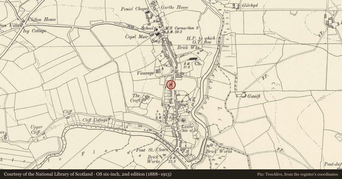
Slide toward Today to fade the historical sheet and see the modern map underneath.
David Rumsey Map Collection, Stanford LibrariesDavid Rumsey Map Collection, Stanford LibrariesDavid Rumsey Map Collection, Stanford LibrariesDavid Rumsey Map Collection, Stanford LibrariesDavid Rumsey Map Collection, Stanford Libraries
5 historical maps cover this location, the earliest the 1636 map "Cornubia : Devonia, Somersetus, Dorcestria, Wiltonia, Glocestria ..." (David Rumsey Map Collection, Stanford Libraries).
Historical maps covering this location
- 1636 · Cornubia : Devonia, Somersetus, Dorcestria, Wiltonia, Glocestria ... (David Rumsey Map Collection, Stanford Libraries)
- 1860 · 41. Caermathen. (David Rumsey Map Collection, Stanford Libraries)
- 1891 · Sheet 10. Ordnance Survey of England and Wales. . (David Rumsey Map Collection, Stanford Libraries)
- 1898 · 229 Carmarthen (Hills) (David Rumsey Map Collection, Stanford Libraries)
- 1901 · Sheet 14. (David Rumsey Map Collection, Stanford Libraries)
Cadw's description
Location
House on the street line, behind small railed forecourt, opposite Lon y Prior.
History
Early C19 town house, marked on the 1842 Tithe map.
Exterior
Town house, roughcast rendered with pitched slated roof with crested terracotta ridge tiles and red brick end stacks. Two-storey, 3-window facade with 16-pane painted timber sashes throughout and centre entrance with stone step. Door with timber panels below, glazed above. Painted timber porch with distinctive elongated entablature within which is set minimal 4-centred bracing to latticed overlight on each face. Rear not inspected, but roof appears to slope down to ground floor rear with red brick stack to N.
Plain rendered dwarf wall in front with rendered, coped, square corner posts, and low spearheaded iron railings each side of central double gate with spear-headed lower section and scrollwork top bar.
Interior
Not inspected.
Reason for designation
Included as a late Georgian town house with original detail and good timber porch.
Nearby in the register
- Telephone Call-boxCommunicationsunder 1 mi
- Water PumpWater Supply and Drainageunder 1 mi
- The Town HallCivilunder 1 mi
- Lychgate to the Parish Church, including wall to NMiscellaneousunder 1 mi
Other entries of the same register within about three miles of this one, by straight line.