Cof Cymru: National Historic Assets of Wales · Wales
9 St George's Place
Llandudno, Conwy, Wales
A Grade II listed building in Llandudno, Conwy, designated on 6 June 2001.
The record
- Designation
- Listed building, Grade II
- Broad class
- Commercial
- Date of designation
- 6 June 2001
- Locality
- Llandudno
- Community
- Llandudno
- Unitary authority
- Conwy
- Country
- Wales
- Coordinates
- 53.32470, -3.82979
- Cadw reference
- 25439
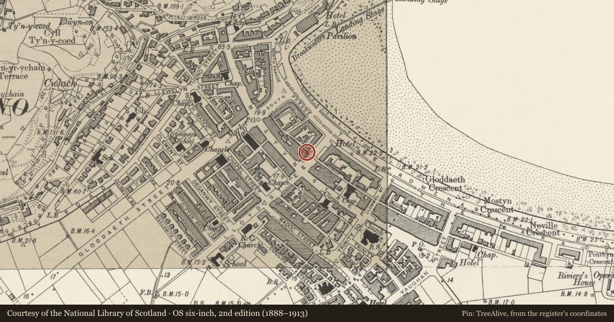
Slide toward Today to fade the historical sheet and see the modern map underneath.
David Rumsey Map Collection, Stanford LibrariesDavid Rumsey Map Collection, Stanford LibrariesDavid Rumsey Map Collection, Stanford LibrariesNational Library of ScotlandNational Library of Scotland
5 historical maps cover this location, the earliest the 1883 map "Watershed map England, Wales 3." (David Rumsey Map Collection, Stanford Libraries).
Historical maps covering this location
- 1883 · Watershed map England, Wales 3. (David Rumsey Map Collection, Stanford Libraries)
- 1885 · OS One-Inch (Hills) 1885-1903 (National Library of Scotland)
- 1899 · 94 Beaumaris (Hills) (David Rumsey Map Collection, Stanford Libraries)
- 1901 · Sheet 9 and 10. (David Rumsey Map Collection, Stanford Libraries)
- 1930 · OS Popular Edition 1919-1947 (National Library of Scotland)
Cadw's description
Location
On corner with Ty Isa Road.
History
Late C19 block. Perhaps by G A Humphreys, architect, and later agent to Mostyn Street.
Exterior
Belongs to a group of 7,8 & 9 St.Georges Place, Llanduno.
Block of shops with offices above. Four storeys plus attic. Five bay rusticated front. Free Renaissance style. Painted render. At attic level, 3 large dormers with segmented heads with relief decoration and tripartite sash windows; between these, smaller gabled dormers flanked by pinnacles. Cornice with relief frieze. On 3rd floor, tripartite sashes alternate with single sashes. Similar arrangements on 2nd floor where broad camber-headed tripartite sash windows alternate with round-headed sash windows. On first floor, the first, third, and fifth bays have canted bay windows, and doorways onto flat roof of verandah. Verandah with cast iron columns, and trailings to upper level.
Reason for designation
A good block of late C19 buildings with group value with adjacent listed buildings.
Nearby in the register
- 8 St George's PlaceCommercialunder 1 mi
- 7 St George's PlaceCommercialunder 1 mi
- 6 St George's PlaceCommercialunder 1 mi
- White Heather HotelCommercialunder 1 mi
Other entries of the same register within about three miles of this one, by straight line.