Cof Cymru: National Historic Assets of Wales · Wales
131 Mostyn Street
Llandudno, Conwy, Wales
A Grade II listed building in Llandudno, Conwy, designated on 16 March 1976.
The record
- Designation
- Listed building, Grade II
- Broad class
- Commercial
- Date of designation
- 16 March 1976
- Locality
- Llandudno
- Community
- Llandudno
- Unitary authority
- Conwy
- Country
- Wales
- Coordinates
- 53.32623, -3.83215
- Cadw reference
- 25424
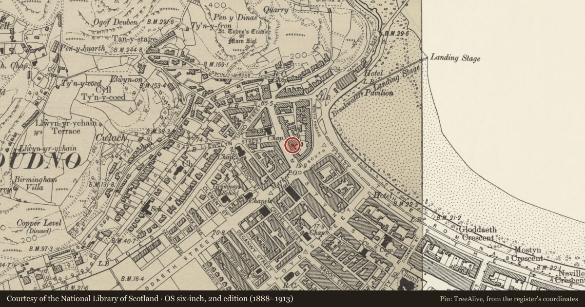
Slide toward Today to fade the historical sheet and see the modern map underneath.
David Rumsey Map Collection, Stanford LibrariesDavid Rumsey Map Collection, Stanford LibrariesDavid Rumsey Map Collection, Stanford LibrariesNational Library of ScotlandNational Library of Scotland
5 historical maps cover this location, the earliest the 1883 map "Watershed map England, Wales 3." (David Rumsey Map Collection, Stanford Libraries).
Historical maps covering this location
- 1883 · Watershed map England, Wales 3. (David Rumsey Map Collection, Stanford Libraries)
- 1885 · OS One-Inch (Hills) 1885-1903 (National Library of Scotland)
- 1899 · 94 Beaumaris (Hills) (David Rumsey Map Collection, Stanford Libraries)
- 1901 · Sheet 9 and 10. (David Rumsey Map Collection, Stanford Libraries)
- 1930 · OS Popular Edition 1919-1947 (National Library of Scotland)
Cadw's description
Location
On NE side of street, with No 127 on corner with Vardre Lane, buildings stepped up hill.
History
1850s group of buildings, now shops, all of which are shown in engraving of 1857 and in the frontispiece to Williams's "Complete Guide to Llandudno" of 1864. Verandahs and some bay windows post date engravings.
Exterior
Stepped uphill. Two box dormers. Altered eaves cornice. Modern glazing. On ground floor, central round-headed doorway flanked to each side by a semi-elliptical headed window with pilasters, impost band and moulded archivolt at right hand end, a blocked round-headed doorway with moulded archivolt and pilasters; also to ground floor, wood cantilevered canopy supported on long, fluted trusses and with entablature with modillions.
Reason for designation
Included as part of a group of Mid C19 buildings in important street in planned Victorian resort of Llandudno. Group value with adjacent listed buildings in Mostyn Street.
Nearby in the register
- 129 Mostyn StreetCommercialunder 1 mi
- 133 Mostyn StreetCommercialunder 1 mi
- 135 Mostyn StreetCommercialunder 1 mi
- 127 Mostyn StreetCommercialunder 1 mi
Other entries of the same register within about three miles of this one, by straight line.