Cof Cymru: National Historic Assets of Wales · Wales
Montclare Hotel
Llandudno, Conwy, Wales
A Grade II listed building in Llandudno, Conwy, designated on 16 March 1976.
The record
- Designation
- Listed building, Grade II
- Broad class
- Commercial
- Date of designation
- 16 March 1976
- Locality
- Llandudno
- Community
- Llandudno
- Unitary authority
- Conwy
- Country
- Wales
- Coordinates
- 53.32606, -3.83149
- Cadw reference
- 25274
Slide toward Today to fade the historical sheet and see the modern map underneath.
David Rumsey Map Collection, Stanford LibrariesDavid Rumsey Map Collection, Stanford LibrariesDavid Rumsey Map Collection, Stanford LibrariesNational Library of ScotlandNational Library of Scotland
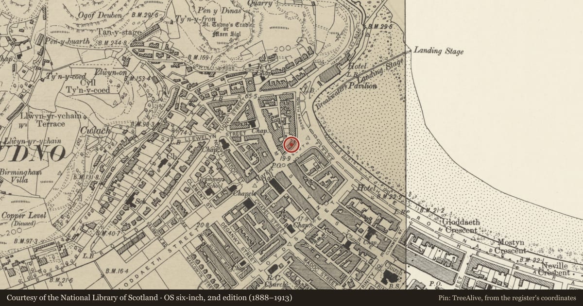
5 historical maps cover this location, the earliest the 1883 map "Watershed map England, Wales 3." (David Rumsey Map Collection, Stanford Libraries).
Historical maps covering this location
- 1883 · Watershed map England, Wales 3. (David Rumsey Map Collection, Stanford Libraries)
- 1885 · OS One-Inch (Hills) 1885-1903 (National Library of Scotland)
- 1899 · 94 Beaumaris (Hills) (David Rumsey Map Collection, Stanford Libraries)
- 1901 · Sheet 9 and 10. (David Rumsey Map Collection, Stanford Libraries)
- 1930 · OS Popular Edition 1919-1947 (National Library of Scotland)
Cadw's description
Location
To R of No 3, as Parade begins to curve to N.
History
1854 - 64; No 1 North Parade and Nos 121 and 123 Mostyn Street are illustrated in Williams’s "Complete Guide to Llandudno", 1864.
Exterior
Three box dormers with casement glazing.
Reason for designation
Included as part of a group of Mid C19 buildings in important early development on sea front of planned Victorian resort of Llandudno. Group value with adjacent listed buildings.
Nearby in the register
- Cumberland HotelCommercialunder 1 mi
- Milverton House HotelCommercialunder 1 mi
- Whitecourt Hotel, including forecourt wallCommercialunder 1 mi
- 1 North ParadeCommercialunder 1 mi
Other entries of the same register within about three miles of this one, by straight line.