Cof Cymru: National Historic Assets of Wales · Wales
Berth Ivan
Cray, Powys, Wales
A Grade II listed building in Crai, Brecon, Cray, Powys, designated on 25 May 2001.
The record
- Designation
- Listed building, Grade II
- Broad class
- Domestic
- Date of designation
- 25 May 2001
- Locality
- Crai
- Town
- Brecon
- Community
- Cray
- Unitary authority
- Powys
- Country
- Wales
- Coordinates
- 51.91960, -3.61650
- Cadw reference
- 25193
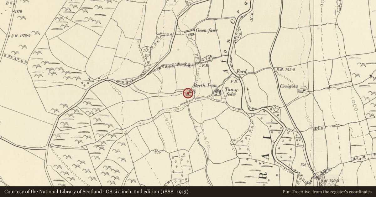
Slide toward Today to fade the historical sheet and see the modern map underneath.
David Rumsey Map Collection, Stanford LibrariesDavid Rumsey Map Collection, Stanford LibrariesDavid Rumsey Map Collection, Stanford LibrariesDavid Rumsey Map Collection, Stanford LibrariesDavid Rumsey Map Collection, Stanford Libraries
5 historical maps cover this location, the earliest the 1636 map "Cornubia : Devonia, Somersetus, Dorcestria, Wiltonia, Glocestria ..." (David Rumsey Map Collection, Stanford Libraries).
Historical maps covering this location
- 1636 · Cornubia : Devonia, Somersetus, Dorcestria, Wiltonia, Glocestria ... (David Rumsey Map Collection, Stanford Libraries)
- 1830 · V.3:11-15:XV. Britisches Reich. A. Kon: England. b. Frstenthum Wales: Shire: 37-40 (David Rumsey Map Collection, Stanford Libraries)
- 1856 · 42. Brecon. (David Rumsey Map Collection, Stanford Libraries)
- 1898 · 213 Brecon (Hills) (David Rumsey Map Collection, Stanford Libraries)
- 1901 · Sheet 14. (David Rumsey Map Collection, Stanford Libraries)
Cadw's description
Location
Situated at the end of a track on the W side of the Afon Crai some 1.5 km NW of Crai village.
History
Earlier to mid C19 farmhouse, disused in 2000, the outbuildings converted to house. Said to have been the farm to which the outbuildings at Tan-y-fedw also belonged but scheduled as a separate holding on the Crai Tithe map of 1840. Marked as Perth Evan, the farm comprised of approximately 40 acres occupied by Ann Williams and owned by James Powell of Pantysgallog.
Exterior
Farmhouse, rubble stone with low-pitched slate roof and stone end stacks, the left one rendered. Two-storey, three-window range offset to left. Casement pair windows with stone voussoirs to cambered heads and thin split stone sills. C20 centre door. Blank plaque to first floor right. Outshut rear.
Reason for designation
Included for its architectural interest as a late Georgian style farmhouse, little altered.
Nearby in the register
- Cart-house at Tan-y-fedwAgriculture and Subsistenceunder 1 mi
- Barn at Tan-y-fedwAgriculture and Subsistenceunder 1 mi
- MarchogdirDomesticunder 1 mi
- Pont NantyrharnTransportunder 1 mi
Other entries of the same register within about three miles of this one, by straight line.