Cof Cymru: National Historic Assets of Wales · Wales
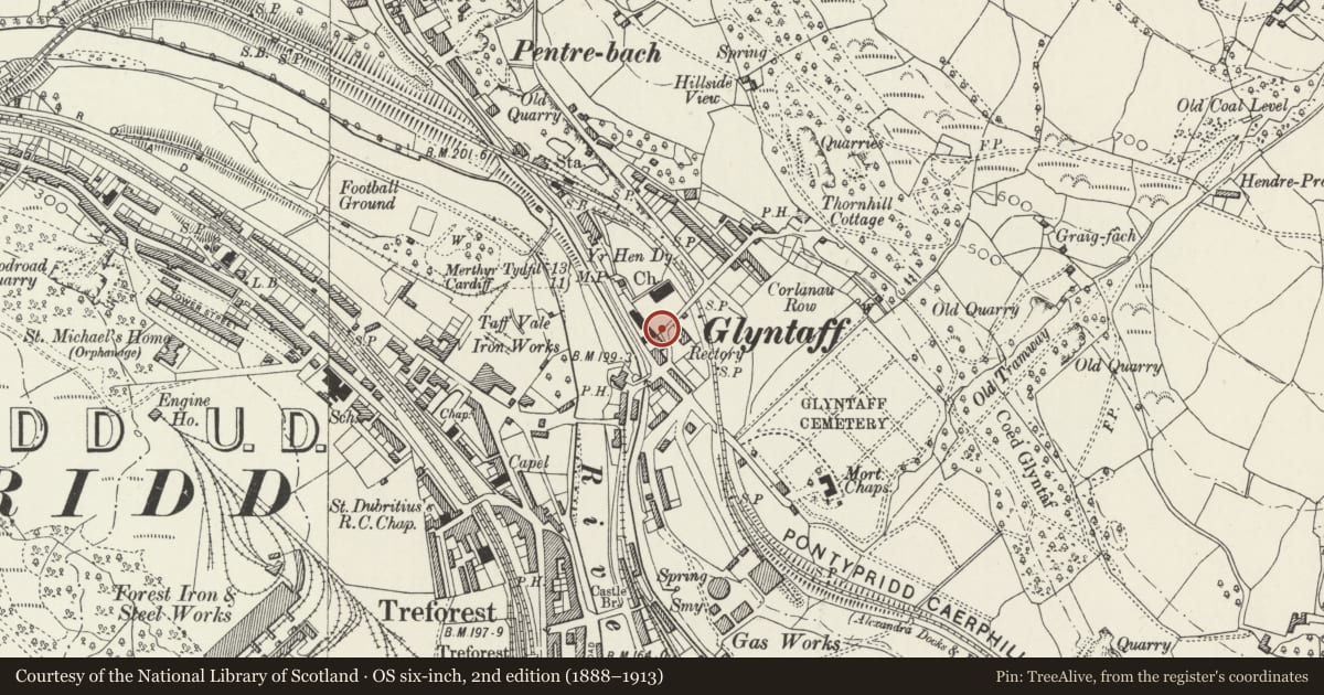
Gates and gate piers to Church of St Mary
Pontypridd, Rhondda Cynon Taff, Wales
A Grade II listed building in Glyntaff, Pontypridd, Rhondda Cynon Taff, designated on 26 February 2001.
The record
- Designation
- Listed building, Grade II
- Broad class
- Religious, Ritual and Funerary
- Date of designation
- 26 February 2001
- Locality
- Glyntaff
- Town
- Pontypridd
- Community
- Pontypridd
- Unitary authority
- Rhondda Cynon Taff
- Country
- Wales
- Coordinates
- 51.59604, -3.32245
- Cadw reference
- 24862
Slide toward Today to fade the historical sheet and see the modern map underneath.
David Rumsey Map Collection, Stanford LibrariesDavid Rumsey Map Collection, Stanford LibrariesDavid Rumsey Map Collection, Stanford LibrariesDavid Rumsey Map Collection, Stanford LibrariesDavid Rumsey Map Collection, Stanford Libraries
5 historical maps cover this location, the earliest the 1636 map "Cornubia : Devonia, Somersetus, Dorcestria, Wiltonia, Glocestria ..." (David Rumsey Map Collection, Stanford Libraries).
Historical maps covering this location
- 1636 · Cornubia : Devonia, Somersetus, Dorcestria, Wiltonia, Glocestria ... (David Rumsey Map Collection, Stanford Libraries)
- 1637 · The fourth table of England. Cornub. Devonia, Somerset etc. (David Rumsey Map Collection, Stanford Libraries)
- 1865 · England and Wales. England No. 6. (David Rumsey Map Collection, Stanford Libraries)
- 1906 · 249 Newport (Hills) (David Rumsey Map Collection, Stanford Libraries)
- 1913 · Sheet 102. Newport. (David Rumsey Map Collection, Stanford Libraries)
Cadw's description
Location
On the S side of the church and facing a sharp bend in the road opposite the Vicarage.
History
Erected in the late C19 at the entrance to Church of St Mary, which was built in 1838-41.
Exterior
Cast iron gates flanked by square piers of coursed rock-faced stone and pyramidal caps. The gates have fretwork panels incorporating twisted rails, and have twisted finials.
Reason for designation
Listed as well-designed cast iron gates and for group value with the Church of St Mary and other associated listed items.
Nearby in the register
- Memorial to John Thomas (Ieuan Ddu) in churchyard of Church of St MaryCommemorativeunder 1 mi
- Memorial to Richard Crawshay in churchyard of Church of St MaryCommemorativeunder 1 mi
- Church of St MaryReligious, Ritual and Funeraryunder 1 mi
- Machine Bridge (also known as Pont y Doctor)Transportunder 1 mi
Other entries of the same register within about three miles of this one, by straight line.